What is recorded here
Clashaniska Grave Yd. is a buried pasture in County Kilkenny where dashed map lines became solid fences, suggesting human memory changed the shape of death itself. Trees once filled the square, now scrub chokes a wedge beside a farm road, preserving no church but keeping the boundary of forgotten burial. The place refuses easy explanation, holding its dead beneath ordinary grass and ordinary traffic.
In pasture. Indicated on the 1st (1839) ed. OS 6-inch map as a roughly square area (dims. c. 30m N-S; c. 35m E-W) defined by a dashed line which suggests that it was not physically enclosed. A field boundary runs roughly E-W forming the N side of the burial ground and the interior is depicted as being tree covered. On the 1900 revision of the 6-inch OS map the burial ground is depicted as being enclosed, though the area is slightly smaller and wedge-shaped (dims. c. 35m NW-SE; c. 27m E-W at the S tapering to c. 12m E-W at the N). A farm roadway now runs roughly E-W along the line of the field boundary E of the burial ground, and turns northward at the burial ground which is overgrown with scrub. There is no associated church.
Compiled by: Jean Farrelly
Date of upload: 20 April 2021
The monument record does not grant public access. Check the route and ask the landowner before entering private land.
- What survives
- Recorded monument
Places near here
 Enclosure in DuningaEnclosure · 394 yd
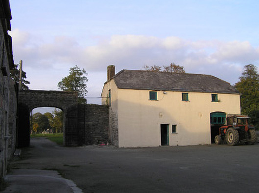 Barraghcore Housefarmyard complex · 489 yd
 Grange Sylvaecountry house · 711 yd
 Enclosure in Grange LowerEnclosure · 1321 yd
 Site of CastleCastle, unclassified · 1691 yd
 Lord Galmoys Catle (in ruins)Castle, unclassified · 1.7 mi
 The Green GardenWood · 2.5 mi
 Church (in ruins), GraveyardChurch · 3.0 mi
 Lock Keeper's House and Lodge MillsVisitor information · 3.8 mi
 Tinnakeenly BogForest · 4.6 mi
 St. Mogarra’s WellSpring · 6.4 mi
 Tullaherin Church and Round TowerVisitor information · 7.4 mi