What is recorded here
Situated on a break in an E-facing slope in upland terrain, under pasture. Extensive views in all directions except upslope to SW. A circular Aring-barrow (TN039-038001) consisting of a central mound enclosed by a water-logged fosse and well-preserved outer bank, partially denuded in the SE quadrant. There are three stones embedded in the N half of the central mound which appear to be set on edge, possibly indicating the presence of a cist.
Compiled by: Caimin O'Brien.
Date of upload: 22 September 2008
Cist in Shevry is a small Neolithic or Early Bronze Age burial cist, likely associated with a ring-barrow, indicating a ritual or funerary function. Its location on an exposed upland slope suggests a possible alignment with landscape features or celestial events, typical of prehistoric funerary monuments in the region.
The monument record does not grant public access. Check the route and ask the landowner before entering private land.
- What survives
- Recorded monument
Places near here
 Wedge tomb in Knockcurraghbola CommonsWedge tomb · 1727 yd
 Site of Cashlauncreen CastleCastle, tower house · 1.1 mi
 Templeougher (site of)Church · 1.4 mi
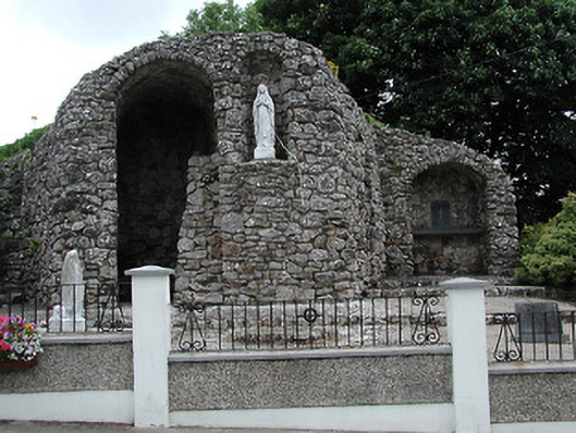 shrine/oratory/grottoshrine/oratory/grotto · 1.4 mi
 Catholic Church of the Sacred Heartchurch/chapel · 1.4 mi
 Moher HillMountain / peak · 2.0 mi
 KnockmaroeMountain / peak · 2.0 mi
 Drumbane CastleCastle · 4.4 mi
 Drum WoodWood · 5.4 mi
 Killavalla WoodForest · 7.0 mi
 Silvermines ViewpointViewpoint · 9.5 mi
 Our Lady Assumed into HeavenMemorial · 10 mi