What is recorded here
In rocky area known as Back Hill, 365m WSW of spot height on Knockadoon (446ft/136m OD), which overlooks Lough Gur and Garret Island to W. Surrounded by a rich complex of prehistoric monuments including a cist (LI032-313----) which lies to the immediate NE and an enclosure (LI032-022020-), a standing stone (LI032-022021-), prehistoric house sites (LI032-022006/009/010-/012-/013/014/015/016/019) and Seeaghanmnatee (LI032-022002-) all in close vicinity. Not depicted on OSi historic maps. Monument identified by the Archaeological Survey of Ireland as a cist from a site inspection carried out by Matt Kelleher in December 2005. Monument is not clearly visible on OSi orthoimage taken 2005-2012, or on Digital Globe orthophoto or on Google Earth orthoimage 28/06/2018.
See attached Google Earth orthoimage.
Compiled by: Alison McQueen and Vera Rahilly
Date of upload: 29 November
Cist in Loughgur is a Neolithic burial monument, likely dating to the 4th to 3rd millennium BCE. It is significant as part of a dense prehistoric landscape associated with the Lough Gur archaeological complex, which includes passage tombs, ring forts, and other ritual and domestic sites.
The monument record does not grant public access. Check the route and ask the landowner before entering private land.
- What survives
- Recorded monument
Places near here
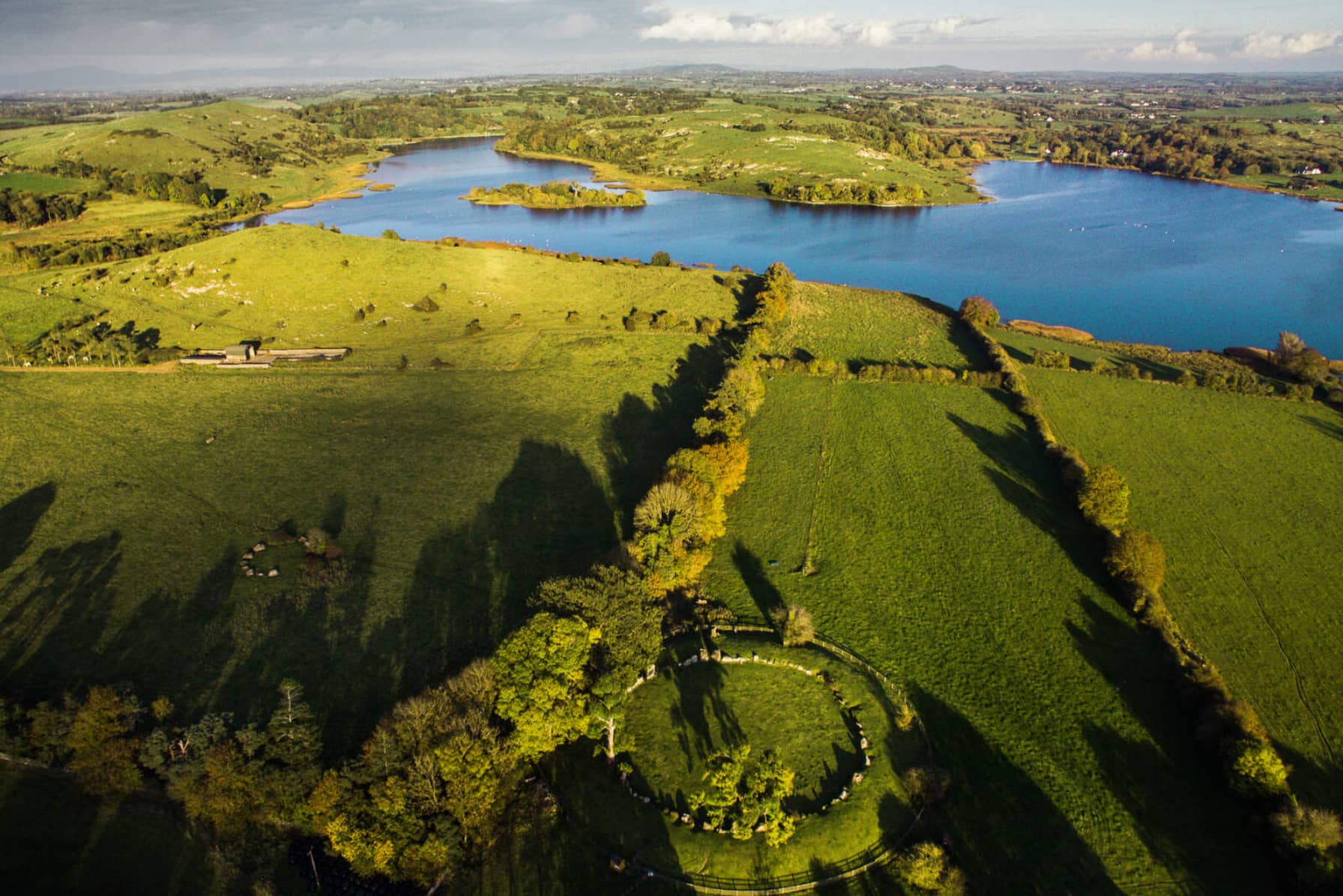 Cist in LoughgurCist · 3 yd
 Lough Gur Neolithic settlementArchaeological place · 103 yd
 RoadRoad, road/trackway · 406 yd
 Black Castle (in ruins)Castle, tower house · 408 yd
 Garret IslandCastle, unclassified · 413 yd
 Pedunculate OakPedunculate Oak · 540 yd
 Loughgur Farmhouse · 569 yd
 Lough Gur Heritage CentreVisitor information · 841 yd
 The SpectaclesVisitor information · 881 yd
 Grange Stone CircleArchaeological place · 1175 yd
 Lough GurVisitor information · 1233 yd
 Glen BogForest · 2.0 mi