What is recorded here
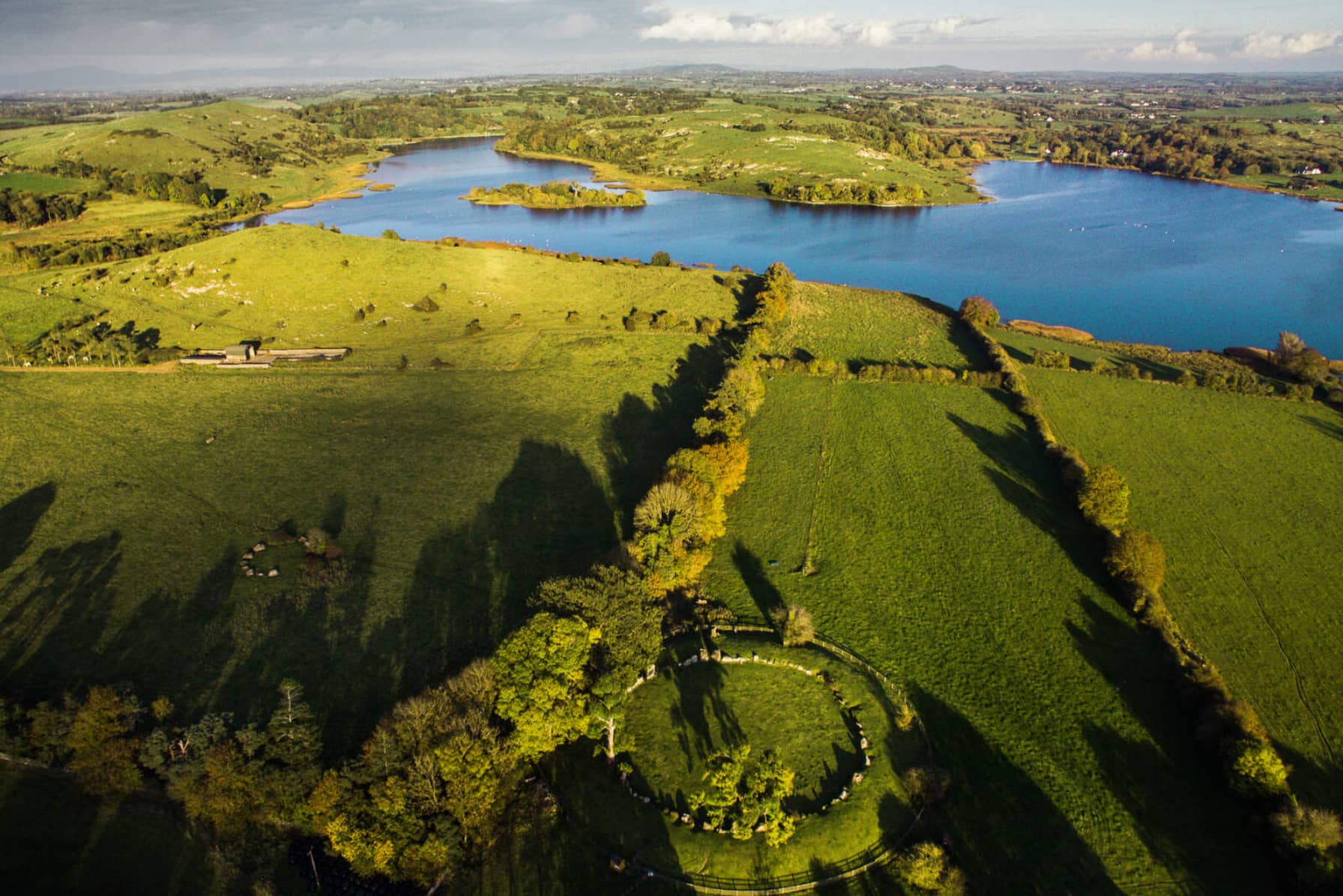
Cist in Loughgur is a prehistoric stone chamber hidden in the rocky Back Hill, overlooking Lough Gur and Garret Island. It sits beside another cist, an enclosure, a standing stone and several house sites, forming one of the densest ancient landscapes in County Limerick. Yet it resists easy viewing, absent from historic maps and barely visible even in modern satellite images. What is clear is that people lived, marked and buried near this edge of water and rock for generations before written memory.
In rocky area known as Back Hill, 365m WSW of spot height on Knockadoon (446ft/136m OD), which overlooks Lough Gur and Garret Island to W. Surrounded by a rich complex of prehistoric monuments including a cist (LI032-313----) which lies to the immediate NE and an enclosure (LI032-022020-), a standing stone (LI032-022021-), prehistoric house sites (LI032-022006/009/010-/012-/013/014/015/016/019) and Seeaghanmnatee (LI032-022002-) all in close vicinity. Not depicted on OSi historic maps. Monument identified by the Archaeological Survey of Ireland as a cist from a site inspection carried out by Matt Kelleher in December 2005. Monument is not clearly visible on OSi orthoimage taken 2005-2012, or on Digital Globe orthophoto or on Google Earth orthoimage 28/06/2018.
See attached Google Earth orthoimage.
Compiled by: Alison McQueen and Vera Rahilly
Date of upload: 29 November 2020
Cist in Loughgur is a Neolithic burial monument, dating to approximately 4000–2500 BCE. It is significant as part of a broader prehistoric landscape featuring multiple monuments, indicating long-term ritual and funerary activity in the Lough Gur area.
The monument record does not grant public access. Check the route and ask the landowner before entering private land.
- What survives
- Recorded monument
Places near here
 Lough Gur Neolithic settlementArchaeological place · 100 yd
 Stone CircleEnclosure · 157 yd
 RoadRoad, road/trackway · 405 yd
 Black Castle (in ruins)Castle, tower house · 406 yd
 Garret IslandCastle, unclassified · 413 yd
 Pedunculate OakPedunculate Oak · 543 yd
 Loughgur Farmhouse · 572 yd
 Lough Gur Heritage CentreVisitor information · 844 yd
 The SpectaclesVisitor information · 885 yd
 Grange Stone CircleArchaeological place · 1172 yd
 Lough GurVisitor information · 1231 yd
 Glen BogForest · 2.0 mi
Other information
Photo: Credit not shown in the picture search · Rights wording not checked; contact us if this picture should be removed