What is recorded here
On a ridge, on or close to the site of a windmill (GA043-093----). Discovered in 1968 in a sand quarry. A rectangular cist (L >1.1m, Wth 0.75m), its long axis running NNE-SSW, was accidentally exposed in the face of the quarry. It comprised two stones (H c. 0.35m) on W side, and a very low end-stone (H 0.15m) at N end. Only one stone survived on E side and S end had already fallen away. The N end had previously been disturbed by a pit dug into it from above. This had been refilled with small rounded stones amongst which a number of animal bones were found. The cist itself contained nothing. Subsequently destroyed by quarrying: no trace survives (Topgr. Files, NMI).
The above description is derived from the published 'Archaeological Inventory of County Galway Vol. II - North Galway'. Compiled by Olive Alcock, Kathy de hÓra and Paul Gosling (Dublin: Stationery Office, 1999).
Date of upload: 05 August 2010
A rectangular cist, likely dating to the Early Christian or early medieval period, used for inhumation burial. Its location near a former windmill and on a prominent ridge may indicate a connection to earlier ritual or settlement activity in the area.
The monument record does not grant public access. Check the route and ask the landowner before entering private land.
- What survives
- Recorded monument
Places near here
 Mary Skerrett's MountArchaeological place · 78 yd
 LisheenadrineArchaeological place · 990 yd
 Castle Hacketdemesne walls/gates/railings · 1242 yd
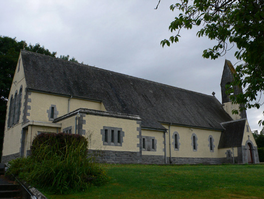 Catholic Church of the Sacred Heartchurch/chapel · 1491 yd
 Castle Hacket (in ruins)Castle, hall-house · 1.1 mi
 Bawn in ArdrumkillaBawn · 1.2 mi
 KnockmaaWood · 1.5 mi
 Mass RockNamed rock · 1.9 mi
 European ashEuropean ash · 3.6 mi
 Kilcoona Round TowerHeritage attraction · 5.2 mi
 Walsh's IslandIslet · 8.8 mi
 Oileán an AoilIsland · 9.6 mi