What is recorded here
On a knoll, in rough hill pasture, within a network of field boundaries (CO091-017005-) with excellent views W to Glengarriff Harbour. A rectangular cist (1.1m NE-SW; 0.95m NW-SE; D 0.5m) lined with a single slab on its SW and NW sides, and by two slabs on both its NE and SE sides. The interior is partially filled with bog debris. A slab (1.2m x 0.9m x 0.2m T) lies on the surface immediately to the NW and may have been a cover-stone. A smaller slab (0.85m x 0.55m; x 0.1m T) lies on the ground to the SE. A small mound of stones intermixed with bog debris lies on the ground to the SW and may have been removed from the interior. Two hut sites (CO091-017002-; CO091-017003-) lie c. 40m to the SW.
The above description is derived from 'The Archaeological Inventory of County Cork. Volume 5' (Dublin: Stationery Office, 2009).
Date of upload: 22 December 2009
A rectangular stone cist, likely dating to the Early Christian or Bronze Age, used for inhumation burial; its location suggests a connection to early field systems and landscape use in west Cork.
The monument record does not grant public access. Check the route and ask the landowner before entering private land.
- What survives
- Recorded monument
Places near here
 Field boundary in DerroograneField boundary · 113 yd
 Fulacht fia in DerroograneFulacht fia · 631 yd
 An Cab DubhMountain / peak · 1316 yd
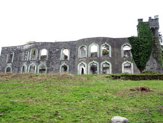 Glengarriff House Hotelcastle/fortified house · 1.1 mi
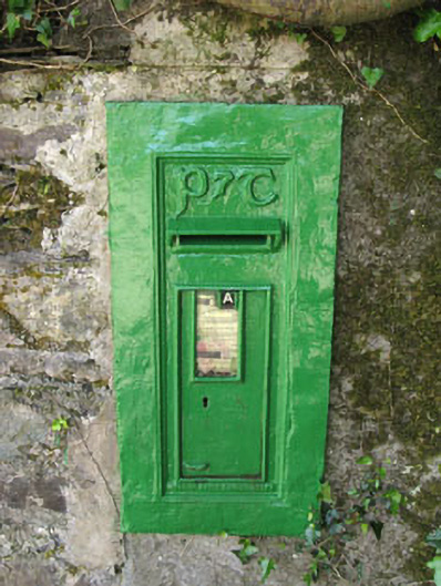 post boxpost box · 1.1 mi
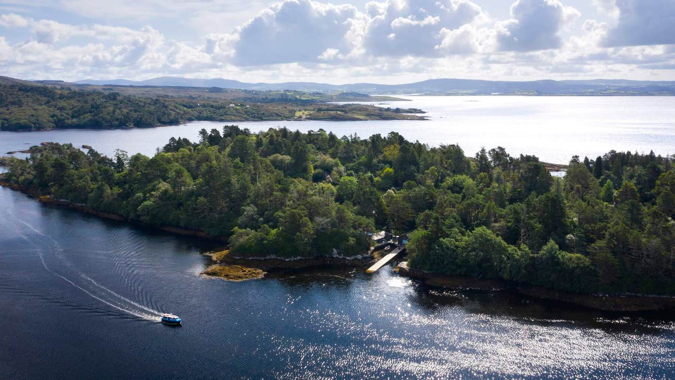 Garranboy IslandIslet · 1.2 mi
 Calf IslandIslet · 1.2 mi
 Tasmanian bluegumTasmanian bluegum · 1.3 mi
 The Blue PoolHeritage attraction · 1.7 mi
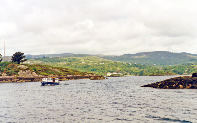 Glengarriff BayBay · 1.7 mi
 Graveyard in CappyaughnaGraveyard · 1.9 mi
 Bryce HouseMuseum · 1.9 mi