What is recorded here
On the summit of a ridged promontory jutting out into Lough Corrib. A rectangular cist-like structure exposed in the face of a quarry. Excavation in 1986 revealed it to have been aligned ENE-WSW but previously unroofed and both ends robbed (L >2.2m, Wth 0.44m, H 0.39m). (Casey 1988a)
The above description is derived from the published 'Archaeological Inventory of County Galway Vol. I - West Galway'. Compiled by Paul Gosling (Dublin: Stationery Office, 1993).
Date of upload: 05 August 2010
A Bronze Age cist tomb; its location on a prominent promontory suggests ritual or funerary significance.
The monument record does not grant public access. Check the route and ask the landowner before entering private land.
- What survives
- Recorded monument
Places near here
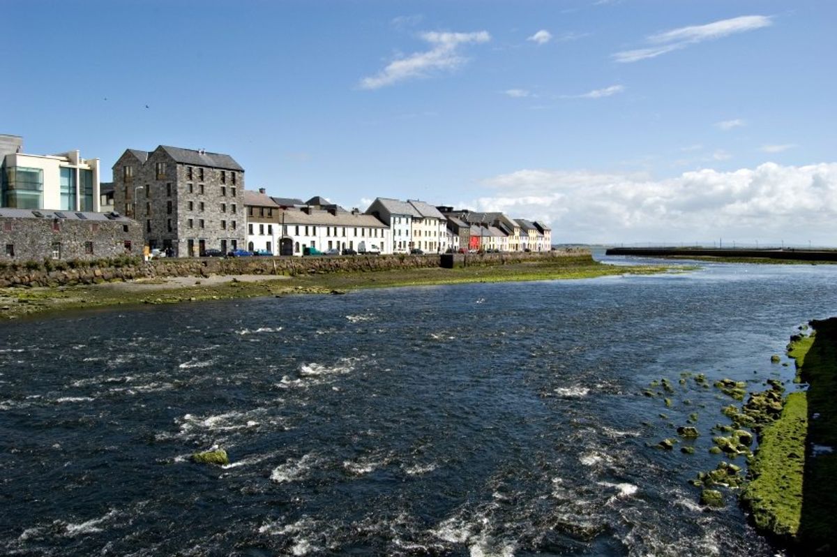 Inishgarraun MoreIslet · 345 yd
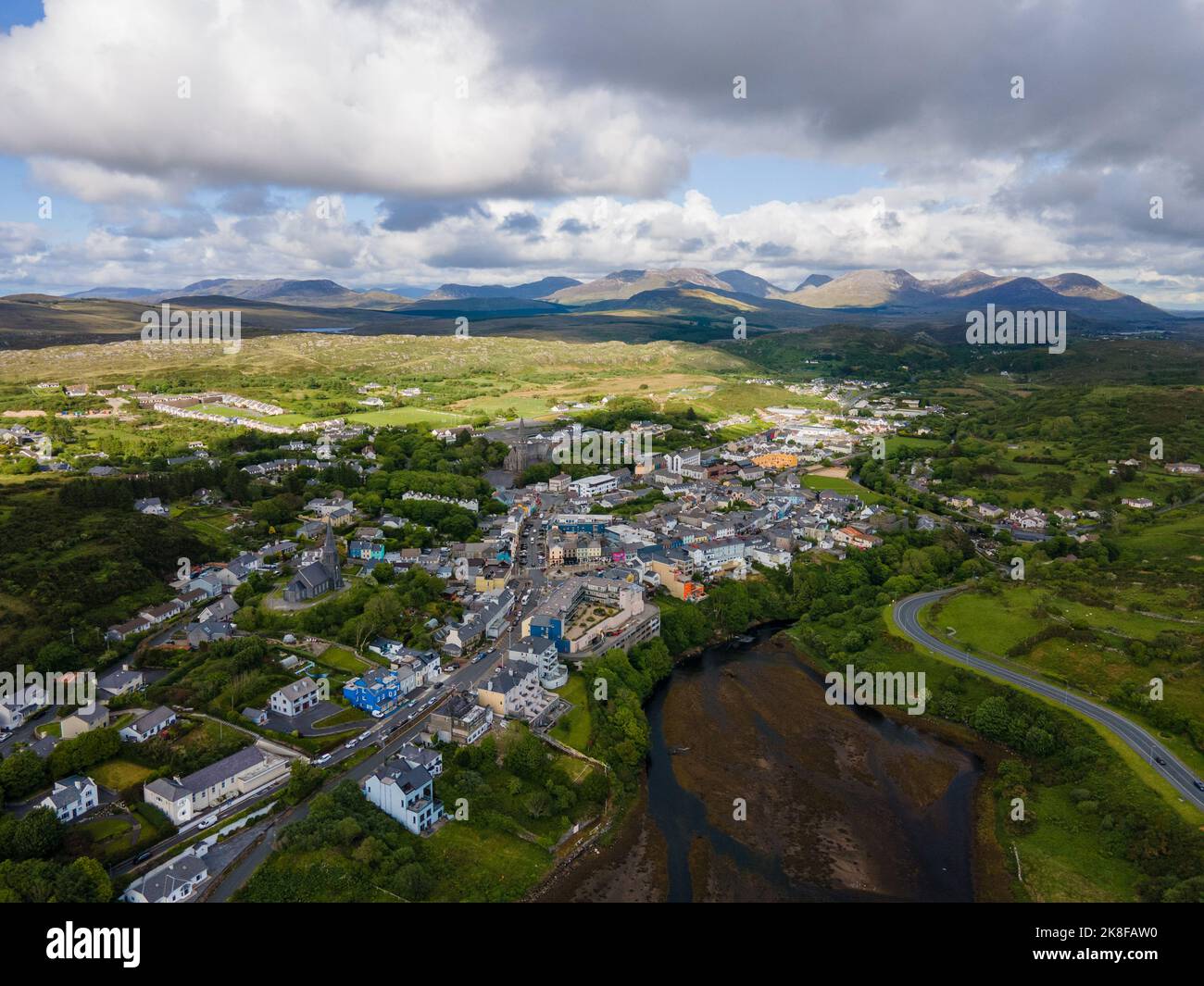 SnahadaunIslet · 768 yd
 aviary/dovecote/pigeon houseaviary/dovecote/pigeon house · 1563 yd
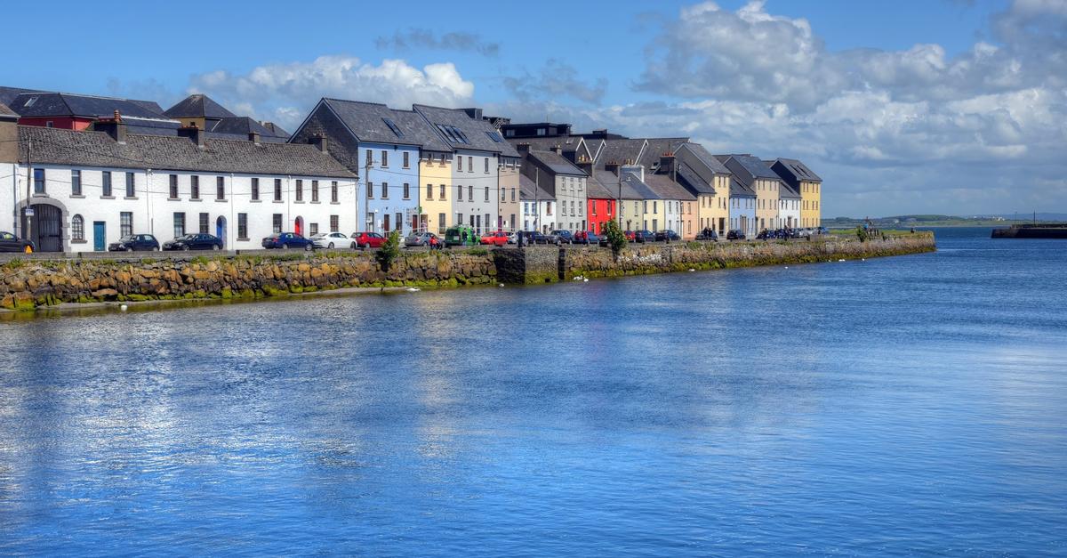 IndicatedChurch · 1.7 mi
 Aughnanure Castle (in ruins)Castle, tower house · 1.7 mi
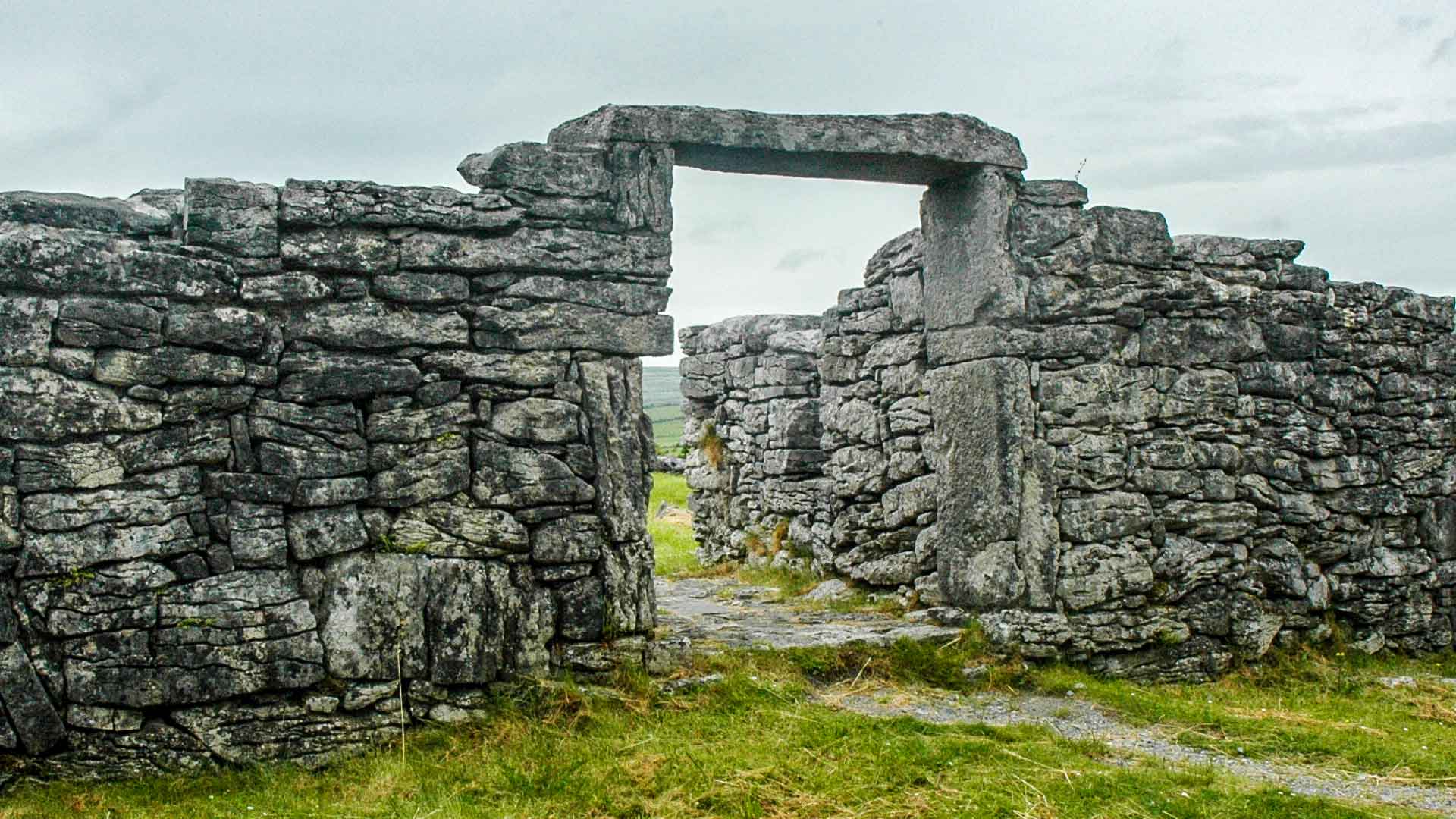 Fairy fort / ringfort in SrueFairy fort / ringfort · 1.8 mi
 Enclosure in Porridgetown WestEnclosure · 1.9 mi
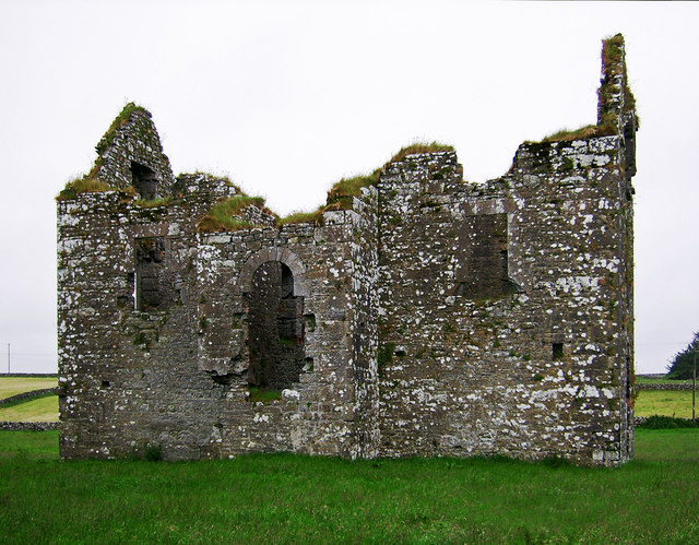 Annaghkeen Castle (in Ruins)Castle, Anglo-Norman masonry castle · 2.1 mi
 Owenriff WayWalking route · 3.2 mi
 Brigit's GardenHeritage attraction · 3.5 mi
 BallynacreggaWood · 3.5 mi
 Annagh WoodWood · 3.7 mi