What is recorded here
In cultivated field, 150m N of cist (MA120-058001-). Long cist discovered during ploughing, a short distance below the surface, in 1944. Rectangular in shape and constructed of four upright slabs, it contained an extended skeleton, tanged iron knife and an animal bone (JRSAI 1944, 171-2).
The above description has been derived from D. Lavelle (compiler), An Archaeological Survey of Ballinrobe and District including Lough Mask and Lough Carra. Lough Mask and Lough Carra Tourist Development Association (1994), No. 10.
Date of upload: 5 December 2012
A Neolithic cist tomb, dating to approximately 4000–2500 BCE, significant as a simple burial structure reflecting early funerary practices in the region.
The monument record does not grant public access. Check the route and ask the landowner before entering private land.
- What survives
- Recorded monument
Places near here
 Castle (in Ruins)Castle, tower house · 219 yd
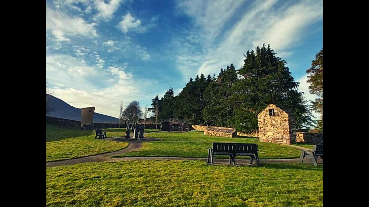 Enclosure in AghalahardEnclosure · 327 yd
 IndicatedFairy fort / earthen ringfort · 667 yd
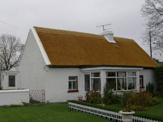 farm housefarm house · 741 yd
 Killimor Church (in Ruins)Church · 1512 yd
 Quiet Man MuseumMuseum · 1.2 mi
 Kelly's CaveCave · 1.3 mi
 TonacashlanCastle, unclassified · 1.3 mi
 Cong WoodsWood · 1.3 mi
 European YewEuropean Yew · 1.3 mi
 Cong AbbeyHeritage attraction · 1.3 mi
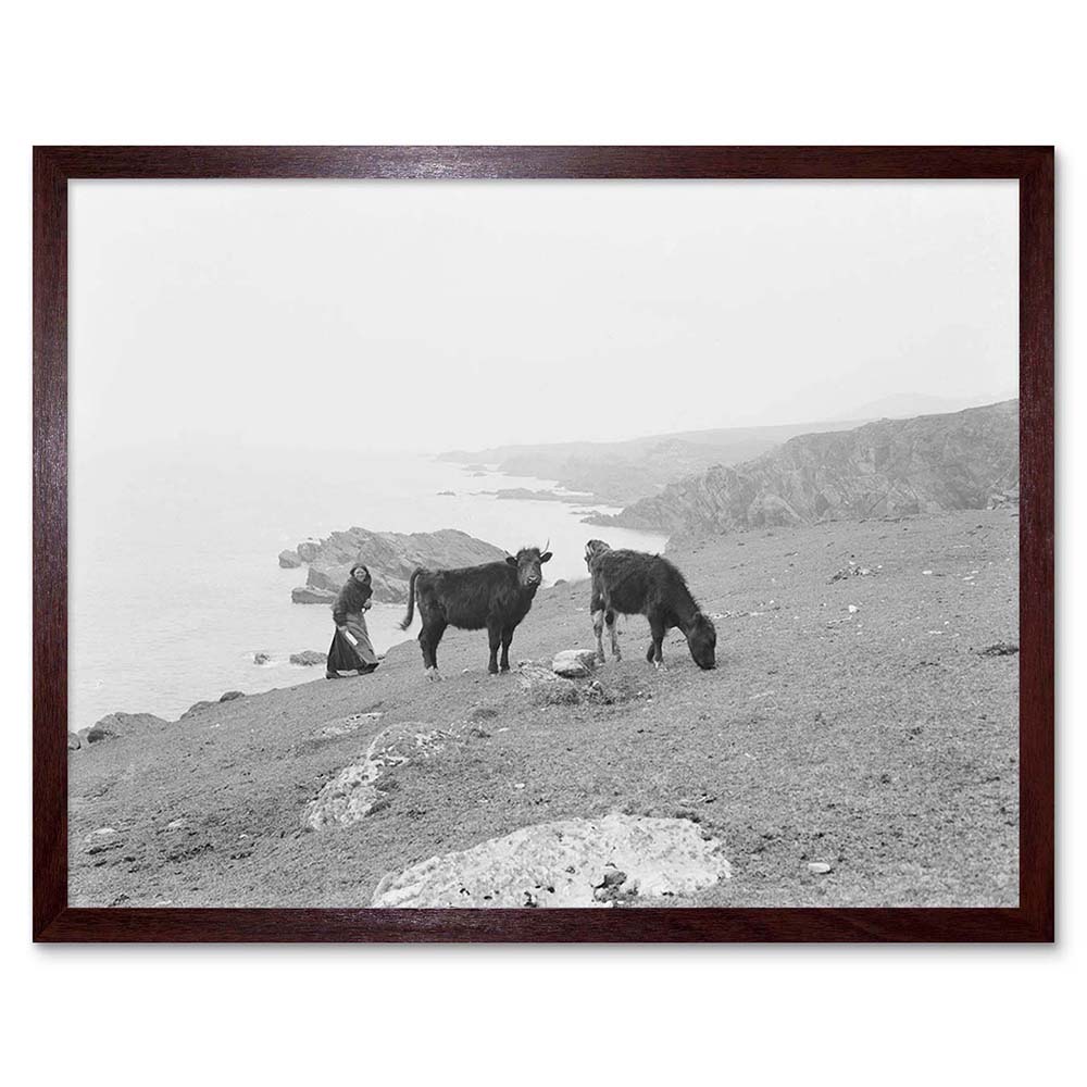 Cow IslandIsland · 1.4 mi