What is recorded here
Now only a patch of waste ground remains where a rectangular church once stood aligned northeast to southwest in County Carlow. The 1839 map still marks the ruins, but no wall, stone or foundation survives for anyone to touch or remember. What is left is a absence so complete it becomes its own shape: a flat place where a building used to rise.
The following description is derived from the published 'Archaeological Inventory of County Carlow' (Dublin: Stationery Office, 1993). In certain instances the entries have been revised and updated in the light of recent research.
Date of upload/revision: 17 July 2007
Marked 'church (in ruins)' and shown as rectangular structure aligned NE-SW on 1839 'OS 6-inch' map. Now appears as patch of waste ground. No visible traces of structure.
This remains an important historical record, but the official description says the monument is no longer visible or has been destroyed. The monument record does not grant public access. Check the route and ask the landowner before entering private land.
- What survives
- No visible remains or recorded as destroyed
Places near here
 Bastioned fort in CoolyhuneBastioned fort · 1291 yd
 Enclosure in SlievedurdaEnclosure · 1570 yd
 Marley Bridgebridge · 1.3 mi
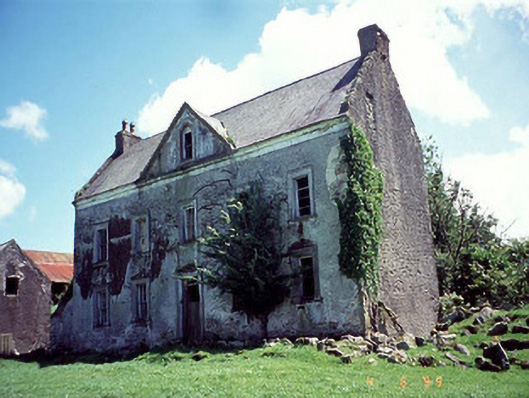 Knockduff Househouse · 1.4 mi
 ClashgannyWood · 1.5 mi
 The Barrow WayVisitor information · 1.5 mi
 Castle (in ruins)Castle, tower house · 1.6 mi
 Kilcullaun Church (in ruins), GraveyardChurch · 2.1 mi
 General Thomas CloneyMemorial · 2.3 mi
 Keating's WellSpring · 2.5 mi
 Tinahinch Castle (in Ruins)Castle, tower house · 2.5 mi
 Bahana WoodForest · 2.8 mi