What is recorded here
St. Dowey's well still gives clean water beside the buried church in Ballymartrim Etra, while the graveyard field holds the forgotten dead. The church itself has vanished, leaving only a hollow memory and a drinking place where people once gathered. Dowey may have been a local teacher, a travelling hermit or simply the name the village remembered. The field and water keep his shape alive long after the building disappeared.
The official Northern Ireland record identifies this as CHURCH (site of) GRAVEYARD & HOLY WELL (arm 008:032): GRAVEYARD FIELD & ST. DOWEY'S WELL. Recorded period: UNCERTAIN. The official map point was placed at the centre of the recorded archaeological site from the source map reference.
The monument record does not grant public access. Check the route and ask the landowner before entering private land.
- What survives
- Recorded monument
Places near here
 ENCLOSUREENCLOSURE, tree ring? · 1216 yd
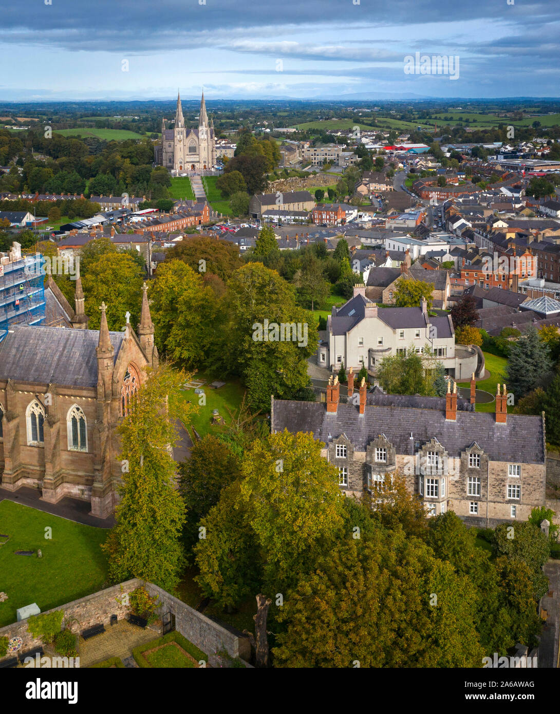 A.P. SITEA.P. SITE, POSSIBLE CONJOINED ENCLOSURES · 1.0 mi
 Maydown BridgeBridge · 2.1 mi
 Presbyterian ChurchChurch · 2.4 mi
 Battle of BenburbMajor battlefield · 2.4 mi
 Navan FortArchaeological place · 2.4 mi
 Mullacreevie ambushambush · 3.2 mi
 Abbey StreetVisitor information · 3.2 mi
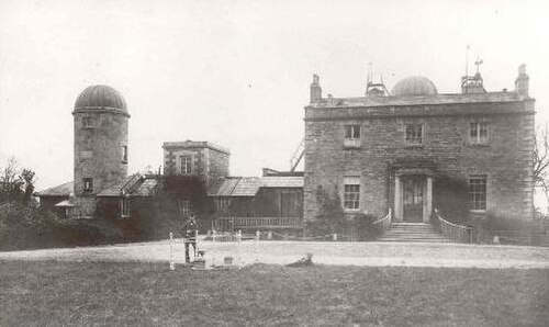 Armagh ObservatoryHistoric observatory · 3.3 mi
 Boer War memorialMemorial · 3.4 mi
 Crimean CannonMemorial · 3.4 mi
 CrannogIsland · 3.6 mi