What is recorded here
Cell Conadain marks a lost church and graveyard in Saint Cunning, preserving a medieval place where people worshipped and buried their dead. The name suggests a small Christian cell rather than a grand cathedral, likely serving a narrow valley or neighbouring townland. Its scheduled status recognises that the ground still holds the shape of that life, even when the building has vanished.
The official Northern Ireland record identifies this as CHURCH (SITE OF) & GRAVEYARD: CELL CONADAIN. Recorded period: MED/L.MED. Recorded protection: Scheduled. The official map point was placed at the centre of the recorded archaeological site from the source map reference.
Medieval monastic site and graveyard, likely 7th–12th century. It is significant as a religious and burial site associated with early Christian settlement in the region.
The monument record does not grant public access. Check the route and ask the landowner before entering private land.
- What survives
- Recorded monument
Places near here
 Enclosure/ relic field system in BallygawnEnclosure/ relic field system · 1030 yd
 Scawt HillMountain / peak · 1539 yd
 Enclosures and potential hut circles in BallygilbertEnclosures and potential hut circles · 1545 yd
 BallycoosMountain / peak · 1.2 mi
 Ballygally CastleHeritage attraction · 1.6 mi
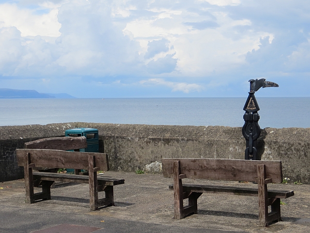 Millennium MilepostVisitor information · 1.7 mi
 CairncastleRuins · 2.0 mi
 Ballygalley HeadCliff · 2.2 mi
 Garden TrailWalking route · 2.4 mi
 Hillmount HouseCastle · 3.3 mi
 Glenarm ForestForest · 3.6 mi
 Blackcave TunnelTunnel · 3.9 mi