What is recorded here
No wall or roof remains, only a cross symbol on a 1947 map and a north-facing slope hidden by scrub. The place may have hosted a nineteenth-century Roman Catholic chapel, yet no stone now marks the altar or pews. Forgetting has done what decay cannot: it erased the shape of worship while leaving behind a coordinate and a name.
On N-facing slope in area of scrub and woodland. No visible trace survives; the site is marked simply as 'Graveyard' on 1st ed. of OS 6-inch map but this probably refers to the associated CBG (GA081-007002-). All that appears in 3rd ed. (1947) is a cross symbol alongside the site name. Possibly the site of a 19th-C R.C. chapel.
The above description is derived from the published 'Archaeological Inventory of County Galway Vol. I - West Galway'. Compiled by Paul Gosling (Dublin: Stationery Office, 1993).
Date of upload: 05 August 2010
This remains an important historical record, but the official description says the monument is no longer visible or has been destroyed. The monument record does not grant public access. Check the route and ask the landowner before entering private land.
- What survives
- No visible remains or recorded as destroyed
Places near here
 Enclosure in Áit Tí SeonacEnclosure · 1186 yd
 TobermacduaghHoly well · 1322 yd
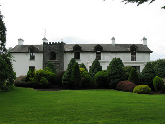 Killeen Housecountry house · 1.3 mi
 Templebeg (in ruins)Church · 1.6 mi
 CastleCastle, unclassified · 2.6 mi
 Menlo Castle Entrance ArchRuins · 2.8 mi
 Galway Cakery CaféHeritage attraction · 2.8 mi
 The Wet WoodWood · 3.0 mi
 Connemara MarbleHeritage attraction · 3.0 mi
 The North WoodWood · 3.1 mi
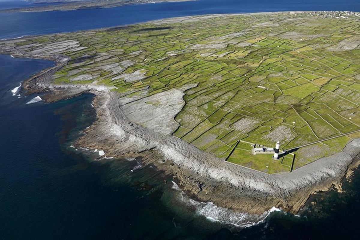 Jordan's IslandIslet · 3.5 mi
 Silver StrandBeach / strand · 3.8 mi