What is recorded here
In a graveyard (MA021-035002-) which is named 'Kilfian' on the 1838 OS 6-inch map. No visible remains. The church is not indicated on the OS 6-inch maps; it appears that all trace was gone by the early 1800’s when O’Donovan recorded that the church ‘has been demolished.’ (OS Letters 1838, vol. 1, 275). The placename ‘Kilfian’, and the presence of a cross-slab (MA021-035003-) in the graveyard indicate the possibility that a church of early medieval date existed here.
Compiled by: Jane O'Shaughnessy
Date of upload: 17 May 2016
The monument record does not grant public access. Check the route and ask the landowner before entering private land.
- What survives
- Recorded monument
Places near here
 RathmeelFairy fort / earthen ringfort · 647 yd
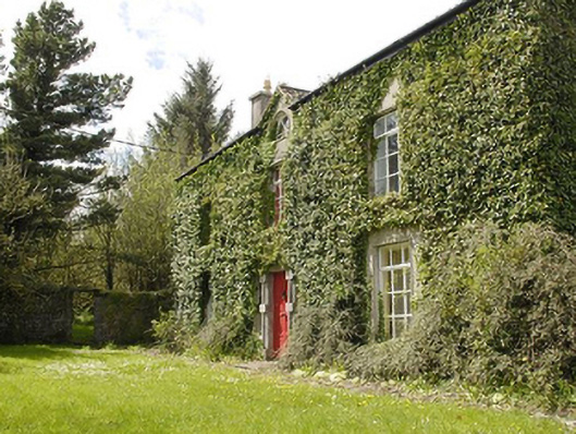 Smithstown Housefarm house · 819 yd
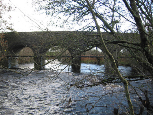 Tonrehown Bridgebridge · 932 yd
 RathnadiffFairy fort / earthen ringfort · 1050 yd
 Rathroe CastleCastle · 1683 yd
 Carn Castle (in Ruins)Castle, unclassified · 2.0 mi
 Battle of Killalabattle · 3.4 mi
 Green IslandIslet · 3.8 mi
 Lisheen Grave YardArchaeological place · 4.3 mi
 Rinnaun PointHeadland · 4.3 mi
 Battlefields of MoyneBattlefield · 4.5 mi
 Moyne AbbeyHeritage attraction · 5.0 mi