
What is recorded here
Situated at the base of a gentle N-facing slope in the flat floodplain of the River Suir which is c. 50m N of the site. Described as the 'Rectory of Fertene' in the taxation of the Diocese of Cashel in 1302 (CDI, vol. 5, 283). The church, which has almost completely collapsed, is aligned E-W. A short portion of the S wall (H 1.7m; L c. 2m; Wth 0.7m), of limestone rubble, is still standing while the N and E walls are marked by a grassed-over mound of collapsed masonry. The line of the W gable is difficult to discern with loose stone and portion of wall collapsed into the interior. The church measures between 16.5m and 18.4m in length internally and is 4.5m wide. It was in better condition when visited by the Ordnance Survey c. 1840. The dimensions given are 16.8m x 4.8m (50ft 6in x 16ft) (O'Flanagan 1930, vol. 2, 194). There is no graveyard marked on the 1843 or the 1952-3 ed. of the OS 6-inch map. However, remains of the graveyard are visible N of the church, where a collapsed wall (Wth c. 2m) enclosed a roughly square area (dims. 24m N-S; 25m E-W). There is a probable entrance at the N end of the W wall (Wth 2.2m). There are old field boundaries to the N, SW and S of the church.
The above description is derived from 'The Archaeological Inventory of County Tipperary. Vol. 1 - North Tipperary' compiled by Jean Farrelly and Caimin O'Brien (Dublin: Stationery Office, 2002). In certain instances the entries have been revised and updated in the light of recent research.
Date of upload/revision: 22 September 2008
The church at Turtulla, mentioned as the "Rectory of Fertene" in the 1302 taxation of the Diocese of Cashel, was likely built in the late medieval period, possibly by a local ecclesiastical authority or secular patron. Its exact style is not recorded, but it would have reflected the typical rural church architecture of the region during the late 13th or early 14th century.
The monument record does not grant public access. Check the route and ask the landowner before entering private land.
- What survives
- Recorded monument
Places near here
 Lime kilnRuins · 764 yd
 Enclosure in Turtulla (fertiana Par.)Enclosure · 905 yd
 Wildlife CorridorWood · 959 yd
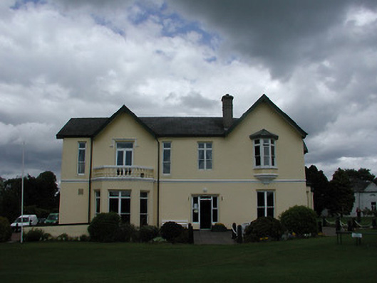 Turtulla Housecountry house · 1239 yd
 Castle (in ruins)Bawn · 1283 yd
 Ladys WellHoly well · 1601 yd
 WoodlandWood · 1739 yd
 Lár na PáirceMuseum · 1.6 mi
 Black CastleCastle · 1.6 mi
 Pheasant IslandHeritage attraction · 1.7 mi
 Killough Hill (site of)Mountain / peak · 3.3 mi
 Horse and JockeyVisitor information · 3.8 mi
Other information
Photo: Credit not shown in the picture search · Rights wording not checked; contact us if this picture should be removed