
What is recorded here
On the N side of a natural rise in undulating pasture roughly centrally within the graveyard (TS086-005001-). The undivided church (ext. dims. 21.1m x 8.67m; S wall Wth 1m) is aligned ENE-WSW, composed of rubble limestone, roughly coursed, with roughly dressed limestone quoins. It is entered by two opposing doorways, a pointed doorway (Wth 0.8m) at the W end of the N wall and a doorway with missing surrounds at the W end of the S wall. A possible priest's residence may be at the W end where beam-holes indicate an upper floor level or gallery. There are two windows centrally placed in the W gable, a small flat-headed lower window and an upper ogee-headed window with decorated spandrels. Otherwise the church was lit by a round-headed single-light window at the E end of the S wall, an ogee-headed single-light at the E end of the N wall and a two-light ogee-headed window in the E gable. At the E end of the S wall there is a round-headed aumbry which has an external chamber which terminates with a broach stop.
Compiled by: Jean Farrelly
Date of upload: 26 August 2011
The monument record does not grant public access. Check the route and ask the landowner before entering private land.
- What survives
- Recorded monument
Places near here
 Enclosure in BurncourtEnclosure · 272 yd
 Burncourt Old Br.Bridge · 1255 yd
 Enclosure in KnockaarumEnclosure · 1285 yd
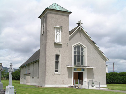 Catholic Church of the Assumptionchurch/chapel · 1365 yd
 Burncourt CastleCastle · 1374 yd
 Rehill WoodForest · 1.0 mi
 Shanbally CastleCastle · 1.2 mi
 Sweet ChestnutSweet Chestnut · 1.2 mi
 Mitchelstown CaveCave · 1.8 mi
 Ronald Reagan CentreHeritage attraction · 2.8 mi
 Sheep HillMountain / peak · 3.7 mi
 KnockanardMountain / peak · 3.8 mi
Other information
Photo: Credit not shown in the picture search · Rights wording not checked; contact us if this picture should be removed