What is recorded here
Situated on a N-facing slope overlooking the valley of the NE-SW River Bann with the stream c. 400m to the NW. It was described in 1961 (SMR file) as an undivided nave and chancel church (L c. 18m; Wth c. 6m) with corner buttresses and the remains of a porch towards the W end of the S wall. The walls survived to a height of c. 3m at that time but no cut stone remained. It has been removed without trace in a farm complex. There is no record of burials or of an enclosure. The Lindardstown cist (WX011-016001-) and its mound (WX011-016002-) were c. 90m to the ENE.
The above description is derived from the published 'Archaeological Inventory of County Wexford' (Dublin: Stationery Office, 1996). In certain instances the entries have been revised and updated in the light of recent research.
Compiled by: Michael Moore
Date of upload/revision: 21 May, 2012
This remains an important historical record, but the official description says the monument is no longer visible or has been destroyed. The monument record does not grant public access. Check the route and ask the landowner before entering private land.
- What survives
- No visible remains or recorded as destroyed
Places near here
 Enclosure in NorrismountEnclosure · 256 yd
 Milshoge RockMountain / peak · 602 yd
 Camolin National Schoolschool · 732 yd
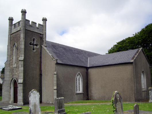 Saint Catherine's Church (Toome)church/chapel · 779 yd
 White WellHoly well · 1156 yd
 Giants BedNamed rock · 2.0 mi
 Camolin WoodForest · 2.0 mi
 Carrigroe HillMountain / peak · 2.0 mi
 Kilbora WoodForest · 2.6 mi
 Ferns Castle (in ruins)Castle, Anglo-Norman masonry castle · 3.7 mi
 Father Murphy CentreHeritage attraction · 4.4 mi
 CastleCastle, unclassified · 4.7 mi