
What is recorded here
Featureless remains of a badly ruined church with only a portion of its N wall (L 11.2m, wall T 0.9m, H 2.7m) still standing. It is built with rubble limestone and is incorporated in the graveyard wall. Graveyard overgrown with scrub and brambles and nothing of archaeological interest noted.
Poorly preserved remains of rectangular church (approx. int. dims. 16.5m E-W; 5.6m N-S; wall T 0.9m) with only portion of N wall surviving which is now incorporated into the graveyard wall, with wall footings of the S wall visible. No architectural features visible. Graveyard contains 18th/19th-century headstones with Tower house (OF033-005003-) located immediately to the S. According to O'Flanagan (1933, vol. 2, 30) the church was mentioned in the Annals of the Four Masters in the year 1387. Comerford (1883, 311) measured the church 40ft E-W by 18ft N-S.
The above description is derived from the published 'Archaeological Inventory of County Offaly' (Dublin: Stationery Office, 1997). In certain instances the entries have been revised and updated in the light of recent research.
Date of upload: 23 May 2011
The monument record does not grant public access. Check the route and ask the landowner before entering private land.
- What survives
- Recorded monument
Places near here
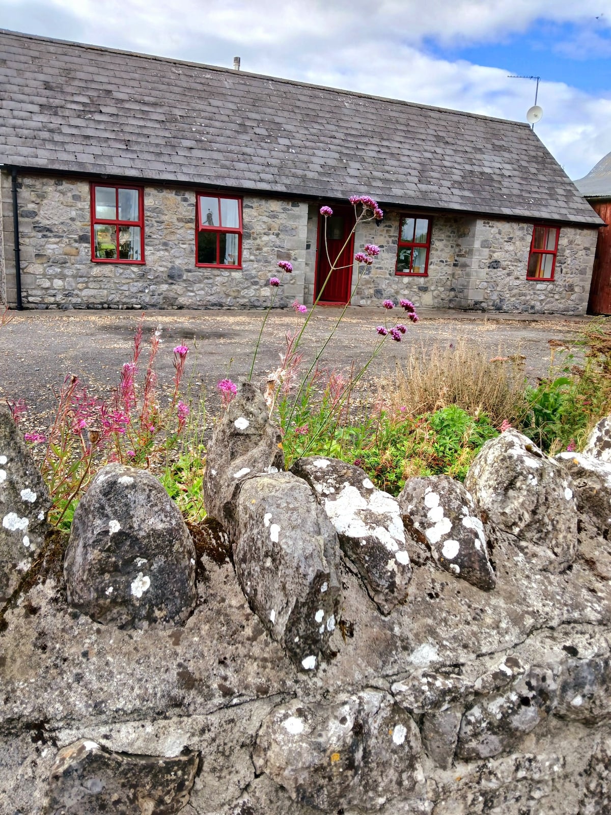 Bawn in ClonyhurkBawn · 45 yd
 Spa WellSpring · 1402 yd
 Enclosure in Killeen (phillipstown Upper By.)Enclosure · 1502 yd
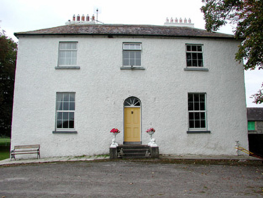 Clonyhurk Housefarm house · 1578 yd
 Enclosure in GarryhinchEnclosure · 1693 yd
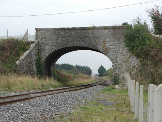 bridgebridge · 1.2 mi
 Limekiln WoodWood · 1.3 mi
 Ghaugher HillMountain / peak · 1.7 mi
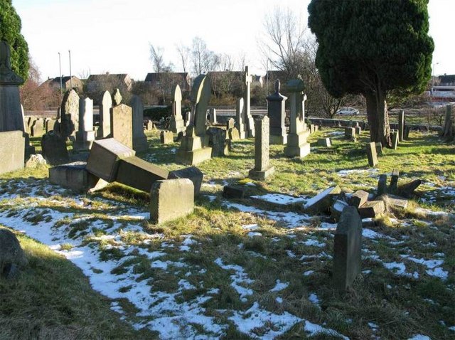 Church (in Ruins), GraveyardChurch · 2.0 mi
 Birchpark WoodWood · 2.0 mi
 Tinnakill Castle (in Ruins)Castle, tower house · 2.8 mi
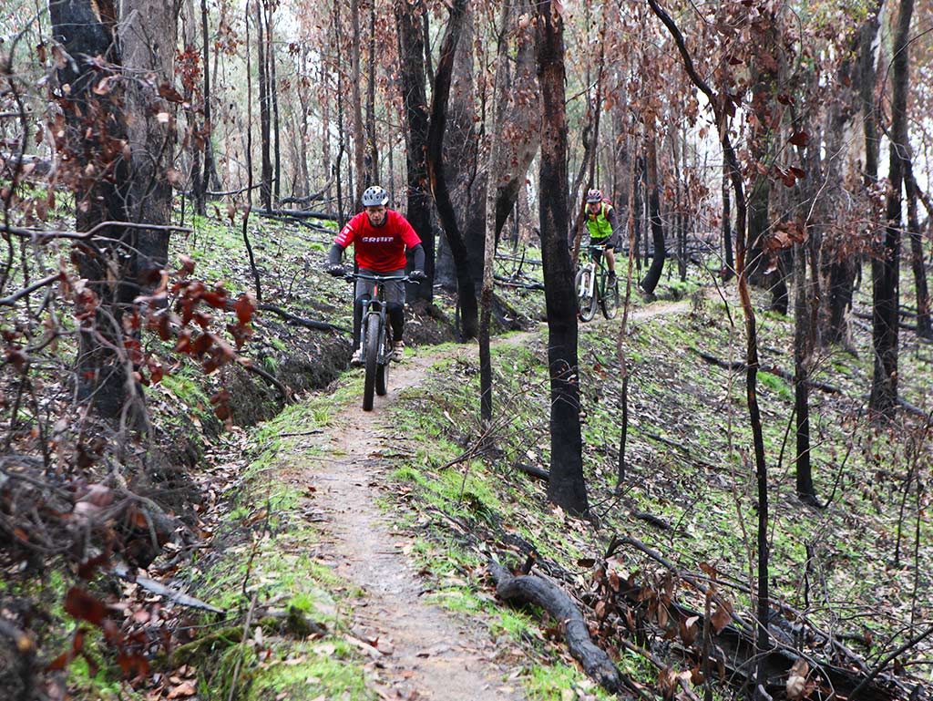 Derryounce Walk (Red Loop)Walking route · 3.3 mi
Other information
Photo: Credit not shown in the picture search · Rights wording not checked; contact us if this picture should be removed