What is recorded here
Within the S half of a graveyard (GA123-046002-), which is roughly centrally located within a possible early ecclesiastical enclosure (GA123-046003-). Described in the OS Letters (O’Flanagan 1927, Vol. 2, 622-4) as a much-ruined church (c. 22.8m E-W; c. 7.6m N-S). The E and W gables were entirely demolished and only sections of the N (L 17.6m) and S (L 10m) side-walls survived, each with a single-light round-headed window towards its E end. Traces of a pointed arch were also evident near the W end of the N side-wall. All that now survives is a featureless section of the latter wall (L 3.3m; H 2.1m; T 0.95m); it consists of a double-faced randomly coursed mortared wall. (Fahey 1893, 257, 433)
Compiled by: Galway Archaeological Survey, UCG
Date of upload: 18 February 2020
The monument record does not grant public access. Check the route and ask the landowner before entering private land.
- What survives
- Recorded monument
Places near here
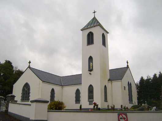 Saint Thomas's Catholic Churchchurch/chapel · 661 yd
 Saint Peter's Wellholy well · 814 yd
 Enclosure in Doonally WestEnclosure · 1533 yd
 Man-made underground passage in Ballylee (kiltartan By.)Man-made underground passage · 1.4 mi
 Ballylee CastleCastle, tower house · 1.4 mi
 CastleCastle, unclassified · 1.8 mi
 European ashEuropean ash · 2.7 mi
 HawthornHawthorn · 2.7 mi
 KnockapollboyMountain / peak · 3.8 mi
 KnocknarebanaMountain / peak · 4.5 mi
 Holly IslandIslet · 4.9 mi
 Drumharsna CastleHeritage attraction · 5.0 mi