What is recorded here
In centre of graveyard (CO075-01701-), remains of nave and chancel of parish church of Carrigtohill, with tower at SW corner. By 1615 nave in repair but chancel ruinous (Brady 1863, vol. 2, 91); chancel still a ruin but nave maintained as C of I church until new church built in NW corner of graveyard in 1905 (Coleman 1908, 8); nave still roofed and used as hall with recent flat-roofed extension on W side. Chancel interior (int. 13.6m E-W; 6m N-S) partially overgrown and used for burial with headstones dating to 1815. N and S walls ivy-clad; surviving portion of E wall inserted inside line of earlier wall. Inserted door ope in S wall; splayed window embrasures, missing lights, in N and S walls. Junction of nave and chancel now blank wall functioning as E gable of hall; according to Power (1918,196) 'chancel-arch was transformed into east window' of C of I church date of this transformation not known but probably took place before church reported 'in good repair' in 1694 (Brady ibid, 92-3). Roofed section of nave (16.5m E-W; int. 8m N-S) extends to E wall of tower but earlier nave extended at least to W wall of tower (a further 4.65m). N wall built on battered lower courses of older wall. Blocked window opes in N and S walls and door opes all of relatively recent appearance. Four-storey rectangular tower (6m N-S; 4.65m E-W) stood attached to W end of S wall of nave. It stands to full height but crenellations gone; bellcote added to top of N wall, bell still in position. Access to interior not gained. Lit by rectangular flat-headed lights; series of slit windows near NW corner suggest spiral stone staircase in this position. Blocked arched opening at ground level in S wall and at 1st floor level in E wall appear later insertions. At ground floor level, on W face of tower, oval plaque erected in 1688 by Sir James Cotter (Coleman 1901-3a, 163-4; see photo Coleman 1908b, facing p.8), nearby recently vandalised aediculated memorial of Dobson family dated 1789 (Coleman 1917-20a, 268-9); both lived at Anngrove House (CO075-051---). Tower appears late medieval in date, as presumably was this larger-than-usual parish church of Carrigtohill, associated with nearby Barryscourt castle (CO075-01801-), seat of the Barry family. Though named 'Abbey' on 1842 OS 6-inch map not listed in Gwynn and Hadcock (1988).
The above description is derived from the published 'Archaeological Inventory of County Cork. Volume 2: East and South Cork' (Dublin: Stationery Office, 1994). In certain instances the entries have been revised and updated in the light of recent research.
Date of upload/revision: 14 January 2009
The monument record does not grant public access. Check the route and ask the landowner before entering private land.
- What survives
- Recorded monument
Places near here
 Grave YardGraveyard · 10 yd
 Franciscan FriaryRuins · 19 yd
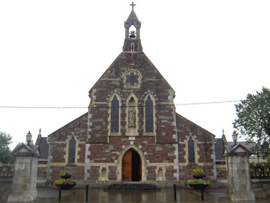 Saint Mary's Catholic Churchchurch/chapel · 101 yd
 Fulacht fia in BarryscourtFulacht fia · 684 yd
 Barryscourt CastleCastle · 724 yd
 Barrys Court Castle, Tower(s)Castle, tower house · 738 yd
 Rossmore BayBay · 1.5 mi
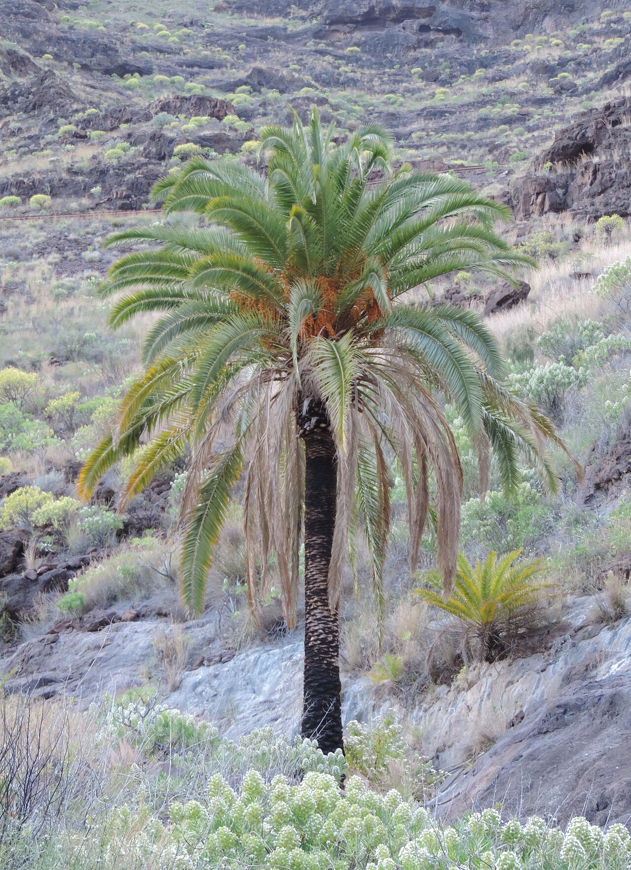 Canary Island date palmCanary Island date palm · 2.1 mi
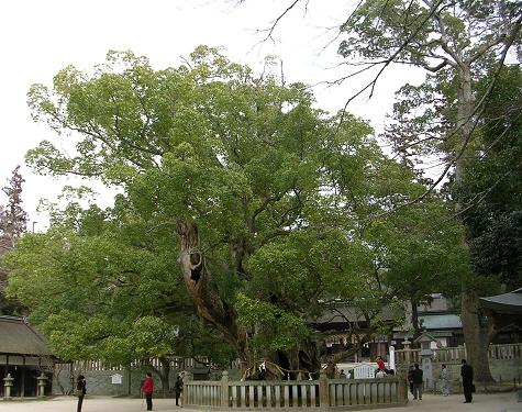 Camphor treeCamphor tree · 2.1 mi
 Fota Arboretum and GardensHeritage attraction · 2.2 mi
 Belvelly CastleCastle · 2.4 mi
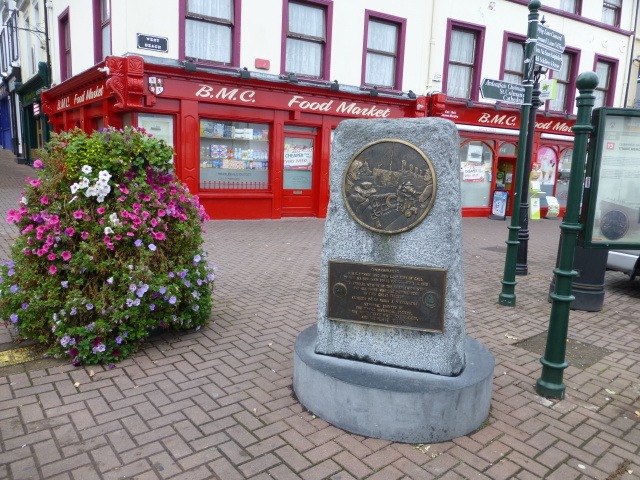 Titanic MemorialMemorial · 4.4 mi