
What is recorded here
To the N of the centre of Lanesborough town (LF017-003----), in the N end of a graveyard (LF017-003006-). Grose (1791, vol. 1, 74) describes and illustrates a multiperiod nave and chancel church with a ruinous three-storey battlemented tower that was situated within a walled graveyard with an impressive entrance. It was known locally as 'Lanesborough Abbey'. It was dedicated to St John and was, according to local tradition, the site of a 13th-century church under the control of the Canons Regular of St Augustine on Saints Island (see LF026-016002-) in Lough Ree. Lewis (1837, vol. 2, 490) recorded that a Protestant church was built ‘at the expense of the Lanesborough family, in 1678, on part of the site of the ancient church in Lanesborough'. Farrell (1891, 333) also noted that the latter church was 'formed from the nave of an ancient structure, traditionally termed an abbey having some remains of a square tower at the west end'. Described by Nicholas Dowdall in 1682 as ‘very fair … stately beautified within and with a Tall Steeple and Church Yard walled about' (Gillespie and Moran 1991, 208). This church was subsequently replaced by the present church (C of I) in 1861 (Bradley et al. 1985, 27). Wall-footings of a short stretch of the N wall (L 5m; H 0.2m; T 1.05m) of the medieval church survive c. 4m to the S of the present church; otherwise no visible surface trace of it or the later 17th-century church survive. A number of architectural fragments from the latter church were reused as grave-markers in the surrounding graveyard (ibid.). There is an armorial plaque (LF017-003010-) associated with the Lane family in the present church.
See linked image of church from F. Grose, 1791 The antiquities of Ireland. 2 vols. London. S. Hooper.
Compiled by: Caimin O'Brien and Olive Alcock
Date of upload: 25 April 2013
A local church or high cross; wider significance not recorded.
The monument record does not grant public access. Check the route and ask the landowner before entering private land.
- What survives
- Recorded monument
Places near here
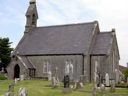 Saint John's Church (Rathcline)church/chapel · 13 yd
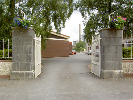 gates/railings/wallsgates/railings/walls · 217 yd
 Commons North WalkVisitor information · 460 yd
 Wild birdsVisitor information · 951 yd
 Ballyclare IslandIslet · 1704 yd
 White Sand WoodWood · 1.1 mi
 Rathcline CastleBawn · 1.6 mi
 IndicatedFairy fort / earthen ringfort · 2.0 mi
 Cross in Glebe (rathcline By., Rathcline Ed)Cross · 2.1 mi
 FerrinchIslet · 3.0 mi
 Slieve BawnMountain / peak · 4.6 mi
 Doughill ForestForest · 5.0 mi
Other information
Photo: Credit not shown in the picture search · Rights wording not checked; contact us if this picture should be removed