What is recorded here
A church is indicated to the N of the Kenmare River on an early 17th-century map of Kerry in the British Museum (published in the Kerry Archaeological Magazine 1917, 204-6). The exact location of the church is not known though it could possibly be the precursor of the Church of Ireland church (KE093-115001-) at Killowen which was rebuilt in 1814.
The above description is derived from the published 'Archaeological Inventory of County Kerry. Volume I: South-West Kerry' (Dublin: Stationery Office, 2009). In certain instances the entries have been revised and updated in the light of recent research.
Date of upload: 30 May 2011
The monument record does not grant public access. Check the route and ask the landowner before entering private land.
- What survives
- Recorded monument
Places near here
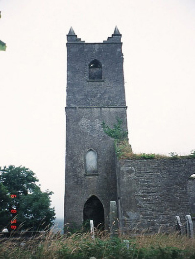 Kenmare Churchchurch/chapel · 237 yd
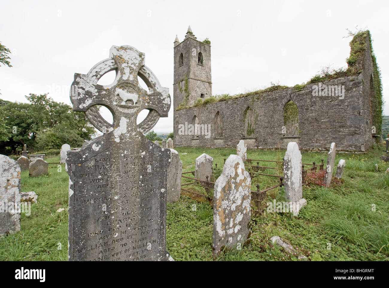
 Killowen ChurchRuins · 240 yd
 Grave Yd.Graveyard · 240 yd
 Man-made underground passage in KillowenMan-made underground passage · 296 yd
 The Lodge WoodWood · 1161 yd
 Monterey PineMonterey Pine · 1291 yd
 Mill Cove Gallery / John Brennan StudioGallery · 1407 yd
 CastleCastle, unclassified · 1426 yd
 Kenmare Heritage Town - Main StreetMemorial · 1449 yd
 Kenmare Tourist Information OfficeVisitor information · 1508 yd
 Cleo GalleryGallery · 1548 yd
 StrickeenMountain / peak · 1.3 mi