What is recorded here
Unlocated church within townland that is depicted on Down Survey (1655-6) map which illustrates two churches in the Churchtown/Churchfield area, one is probably in Churchtown while the other is most likely to be in churchfield.
Compiled by: Caimin O'Brien
Date of upload: 17 December 2007
The monument record does not grant public access. Check the route and ask the landowner before entering private land.
- What survives
- Recorded monument
Places near here
 Church (in Ruins)Church · 310 yd
 Sweet ChestnutSweet Chestnut · 351 yd
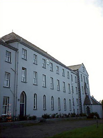 De La Salle Monasterymonastery · 414 yd
 OutlinedCastle, Anglo-Norman masonry castle · 614 yd
 Site of CastleCastle, unclassified · 673 yd
 IndicatedEnclosure · 1.2 mi
 Enclosure in CuddaghEnclosure · 1.5 mi
 SycamoreSycamore · 4.1 mi
 BaunreaghcongMountain / peak · 7.5 mi
 ArderinMountain / peak · 7.9 mi
 Slieve Bloom MountainsMountain range · 9.0 mi
 Saint Kieran's WellSpring · 9.7 mi