What is recorded here
Ballylough still circles an absent church, its graveyard lost to time or forgetting. The place may have stood somewhere near the town, marking birth, death and prayer for people whose names never survived. What is missing is not nothing. It is a shape of life that stopped being repeated.
The official Northern Ireland record identifies this as CHURCH & GRAVEYARD (unlocated). Recorded period: UNCERTAIN. The official map point was placed at the centre of the recorded archaeological site from the source map reference.
The monument record does not grant public access. Check the route and ask the landowner before entering private land.
- What survives
- Recorded monument
Places near here
 Wood LodgeHouse · 482 yd
 The Old MillMill · 533 yd
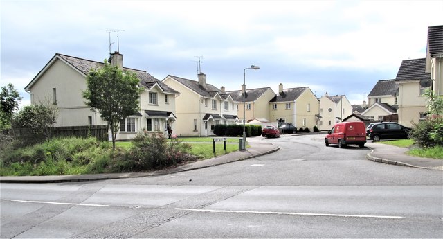 Corry Wood TrailWalking route · 552 yd
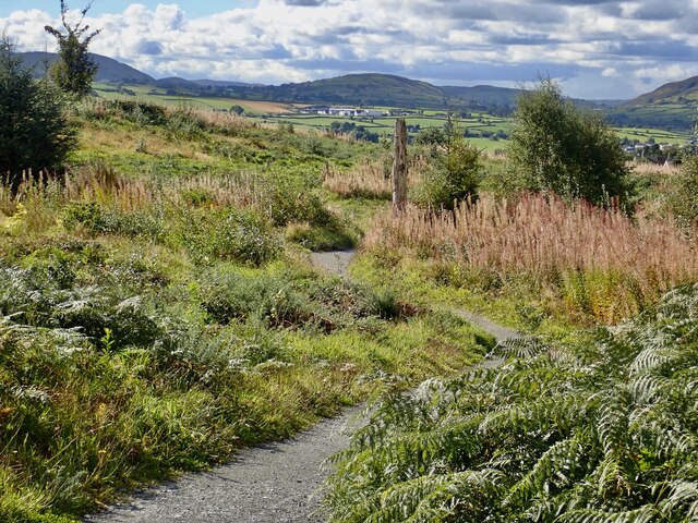 Bunkers Hill Walk/Cycle TrailWalking route · 1201 yd
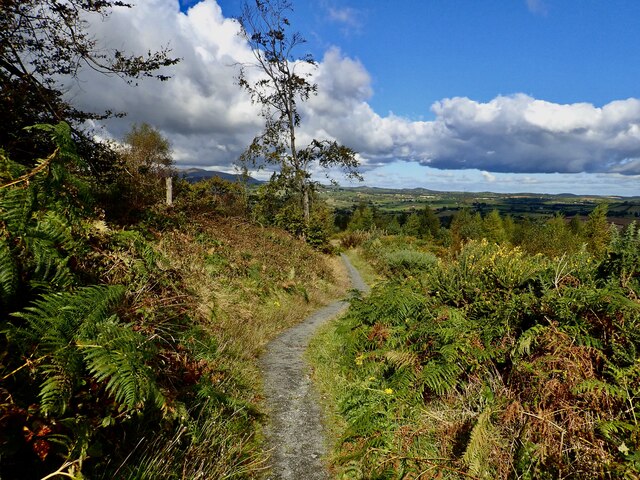 Bunkers HillMountain / peak · 1265 yd
 The Lower SquareVisitor information · 1379 yd
 ENCLOSURE in BallybannanENCLOSURE · 1634 yd
 The Annesley Walled GardenVisitor information · 1642 yd
 Tea HouseCastle · 1755 yd
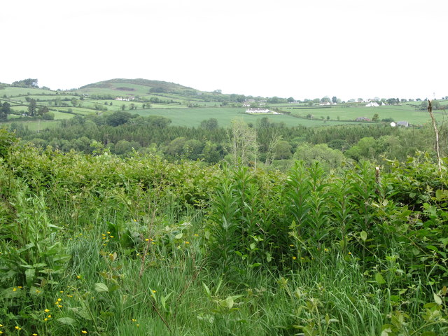 Clarkill WoodForest · 1.2 mi
 A.P. SITEA.P. SITE, large circular enclosure · 1.2 mi
 SlievenaslatMountain / peak · 1.2 mi