What is recorded here
Beneath the Kilcoobin grass, a man-made passage still cuts through the earth where a church and graveyard once stood. The exact age escapes certainty, but the shape remains clear: digging, building, burying, forgetting. That is the order of human places. The chamber may have hidden bodies, tools or prayers from seasons when the surface changed hands. Whatever it contained, the earth kept it clean and the memory let it go.
The official Northern Ireland record identifies this as CHURCH; GRAVEYARD (site of); Man-made underground passage. Recorded period: E.CHRIST.; UNCERTAIN. Recorded protection: Scheduled. The official map point was placed at the centre of the recorded archaeological site from the source map reference.
The monument record does not grant public access. Check the route and ask the landowner before entering private land.
- What survives
- Recorded monument
Places near here
 ENCLOSURE; probably tree ring in KilcoobinENCLOSURE; probably tree ring · 331 yd
 ROUND CAIRN: CARNKIRK CASTLE in CarnkirkROUND CAIRN: CARNKIRK CASTLE · 679 yd
 POSSIBLE ENCLOSURE in Clogher NorthPOSSIBLE ENCLOSURE · 866 yd
 Former National SchoolHall · 1707 yd
 Clock TowerClock Tower · 1.0 mi
 Runkerry Stand (Bushfoot)Beach / strand · 1.1 mi
 Runkerry BeachVisitor information · 1.1 mi
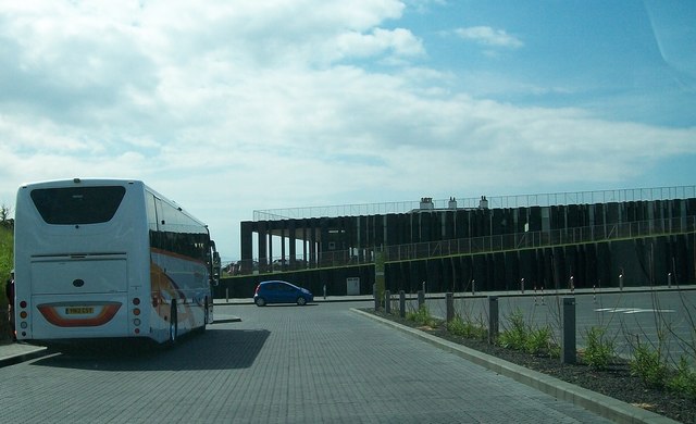 Giant's Causeway Visitor ExperienceMuseum · 1.2 mi
 Old Bushmills DistilleryHeritage attraction · 1.2 mi
 CASTLE: BURNT HOUSE (O.S. memoir site; unlocated) in BallymoyCASTLE: BURNT HOUSE (O.S. memoir site; unlocated) · 1.3 mi
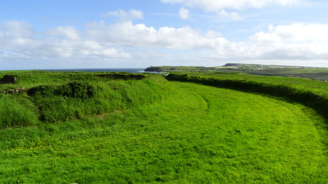 Lissanduff EarthworksNature reserve · 1.3 mi
 Blue Trail, Giant's CausewayWalking route · 1.3 mi