
What is recorded here
Indel, Umgall Church in County Antrim, is a lost medieval site now marked only by a point on a map. The graveyard and enclosure have vanished beneath grass, memory or time, leaving behind a gap where worship and burial once anchored a whole community. What remains is the shape of the absence: a church that no longer stands, a graveyard that no longer shows, and a name that still points to the exact place where both disappeared.
The official Northern Ireland record identifies this as CHURCH, GRAVEYARD & ENCLOSURE (site of): INDEL, UMGALL CHURCH. Recorded period: MEDIEVAL; UNCERTAIN. The official map point was placed at the centre of the recorded archaeological site from the source map reference.
The monument record does not grant public access. Check the route and ask the landowner before entering private land.
- What survives
- Recorded monument
Places near here
 A.P. SITEA.P. SITE, enclosure? · 530 yd
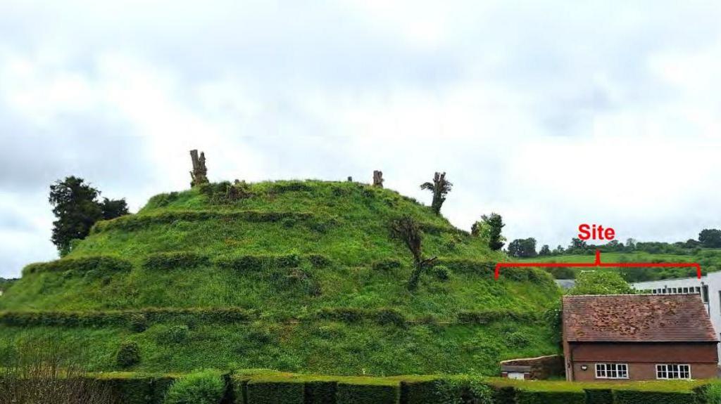 MOUND? OR ENCLOSURE? in BallynaloughMOUND? OR ENCLOSURE? · 1000 yd
 FORTIFIED HOUSE & EARTHWORK DEFENCES (unlocated) in Grange OF MalluskFORTIFIED HOUSE & EARTHWORK DEFENCES (unlocated) · 2.5 mi
 1971 Scottish soldiers' killingsmurder · 3.0 mi
 CASTLE (unlocated) in BallyvastonCASTLE (unlocated) · 3.1 mi
 Patterson's Spade MillMill · 3.2 mi
 Squires HillMountain / peak · 3.3 mi
 Templepatrick Railway StationHouse · 3.4 mi
 DivisMountain / peak · 3.5 mi
 Sentry Hill Historic HouseMuseum · 3.8 mi
 Limestone QuarryCliff · 4.2 mi
 Cave Hill TrailWalking route · 4.2 mi
Other information
Photo: Credit not shown in the picture search · Rights wording not checked; contact us if this picture should be removed