What is recorded here
Yes. That is the only claim being made. Killealy is the named location and the Church; Bullaun: Killede or Killelagh or Dalnach? label is the only claim being repeated.
The official Northern Ireland record identifies this as CHURCH; BULLAUN: KILLEDE or KILLELAGH or DALNACH?. Recorded period: E.CHRIST.; MEDIEVAL. Recorded protection: Scheduled. The official map point was placed at the centre of the recorded archaeological site from the source map reference.
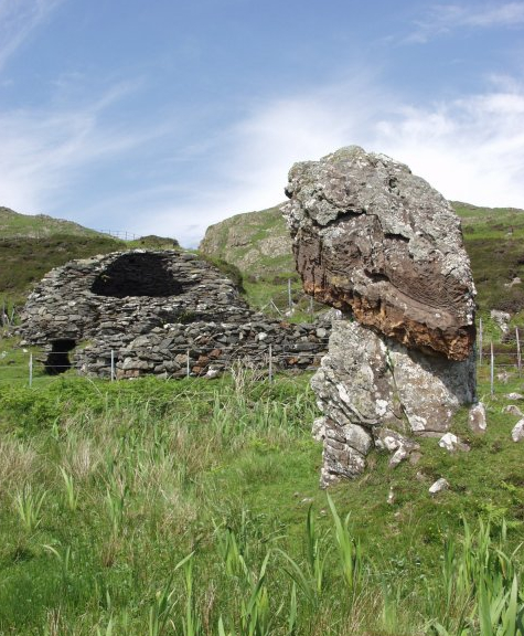
Likely dating to the Early Christian or medieval period, this bullaun stone may have been used for ritual purposes, such as the preparation of holy water, and is associated with a local church or monastic site. Such stones often hold significance in both Christian and prehistoric traditions, sometimes linked to folklore or healing practices.
The monument record does not grant public access. Check the route and ask the landowner before entering private land.
- What survives
- Recorded monument
Places near here
 ENCLOSURE (CHART) in KillealyENCLOSURE (CHART) · 699 yd
 ENCLOSURE in KillealyENCLOSURE · 1091 yd
 CASTLE?: OLDSTONE HILL (unlocated) in OldstoneCASTLE?: OLDSTONE HILL (unlocated) · 2.0 mi
_-_geograph.org.uk_-_2357120.jpg?width=1280) Muckamore BridgeBridge · 2.8 mi
Muckamore BridgeBridge · 2.8 mi_-_geograph.org.uk_-_3844478.jpg?width=1280) Railway BridgeBridge · 2.8 mi
Railway BridgeBridge · 2.8 mi Rea's WoodWood · 3.3 mi
 C17th CASTLE: ANTRIM CASTLE in Town Parks (antrim)C17th CASTLE: ANTRIM CASTLE · 3.9 mi
 Garden Heritage ExhibitionMuseum · 4.0 mi
 2009 Massereene Barracks shootingterrorist attack · 4.4 mi
 Antrim BayBay · 4.4 mi
 Main StreetVisitor information · 5.1 mi
 Farr's BayBay · 6.1 mi