What is recorded here
On a W-facing slope, in grassland, c. 500m N of the village of Menlough and c. 80m E of a road which forms the td. boundary. Marked on 3rd ed. of OS 6-inch map (1927) as a small unenclosed circular area (D c. 15m). All that is visible is a slight rise in ground level. No grave-markers are evident. According to local information, the CBG has not been used in the last 85 years.
The above description is derived from the published 'Archaeological Inventory of County Galway Vol. II - North Galway'. Compiled by Olive Alcock, Kathy de hÓra and Paul Gosling (Dublin: Stationery Office, 1999).
Date of upload: 05 August 2010
The monument record does not grant public access. Check the route and ask the landowner before entering private land.
- What survives
- Recorded monument
Places near here
 R. C. Chapel and School Ho.Chapel · 492 yd
 Menlough IRAMemorial · 603 yd
 R. C. ChapelChurch · 712 yd
 Enclosure in FairhillEnclosure · 1.0 mi
 IndicatedFairy fort / ringfort · 2.2 mi
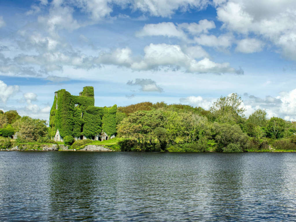 Castle BellewArchaeological place · 2.7 mi
 SycamoreSycamore · 2.8 mi
 Garbally Castle (in ruins)Castle, tower house · 2.9 mi
 Mountbellew ForestForest · 3.6 mi
 Ballinlass Eviction MemorialMemorial · 6.5 mi
 Knockmoy AbbeyHeritage attraction · 7.1 mi
 Kilconnell AbbeyHeritage attraction · 9.6 mi