What is recorded here
Killenafinnane holds a children's burial ground on a sunny slope above County Kerry, its uneven surface still scattered with protruding stones. The name may honour St Finan, linking dead infants to an older church memory before pasture and drainage ditches cut across the field. They are not named in surviving evidence, but they are not forgotten: the ground keeps their shape, and the valley keeps watching it.
In pasture on S facing slope with views of Slieve Mish to N, commanding views from W-S-E. Killeenafinnane (Cillínigh Fíonáin possibly Church of St Finan) is a townland in the parish of Kiltallagh, diocese of Ardfert, barony of Trughanacmy. Described in 1841 as follows; 'There is a Danish Fort [KE047-003---] in the NW end [recte SW] called after the townland and a few chains N. of which is a Children’s Burial Ground called Killenafinnane from which the townland derives it’s name' (OSL). Annotated 'Children's Burial Ground' on 1841 ed. OS 6-inch map where it is depicted as a rectangular-shaped area in NE corner of field. Shown on the 1892 ed. OS 25-inch map as a rectangular-shaped burial ground transected at N by post-1700 field boundary and at E by drainage ditch. Irregular-shaped raised area or platform (dims. c. 16m N-S x 32m E-W) just within corner of field which is transected at N by field boundary running E-W and at E by a drainage ditch running N-S. Circular depression in E quadrant of platform may be the result of quarrying. Uneven surface of raised area with a lot of stone possible grave-markers are visible protruding above the surface of the ground. Outline of burial ground visible as an irregular shaped area of uncultivated land on Digital Globe orthophotos taken between 2011-13.
See attached Google Earth Orhoimages
Compiled by: Caimin O'Brien
Date of upload: 25 May 2022
The monument record does not grant public access. Check the route and ask the landowner before entering private land.
- What survives
- Recorded monument
Places near here
 Cliff-edge fort in FarnaCliff-edge fort · 388 yd
 Enclosure in KilleenafinnaneEnclosure · 908 yd
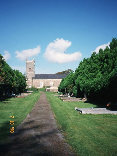 Saint Carthage's Church (Kiltallagh)church/chapel · 1.5 mi
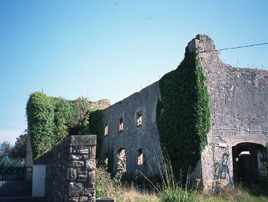 store/warehousestore/warehouse · 1.5 mi
 KnockmoyleMountain / peak · 1.6 mi
 Site of Castle MaineCastle, Anglo-Norman masonry castle · 1.6 mi
 Ballygamboon Forest Recreation AreaWood · 1.9 mi
 Castle Drum (in ruins)Castle, unclassified · 2.5 mi
 Scotia's GraveArchaeological place · 2.6 mi
 Knockmichael MountainMountain / peak · 2.7 mi
 LisnagraveArchaeological place · 3.2 mi
 Tralee Equestrian CentreHeritage attraction · 3.5 mi