What is recorded here
Childrens Burial Ground marks a vanished circular space on a steep Galway hillslope, recorded in 1899 but lost beneath modern forestry. It may have been a quiet corner where infants were laid to rest, yet no stone or ditch remains to prove the shape of that grief. The land has swallowed the boundary, leaving only a coordinate and a warning that death once occupied this green slope.
In state forestry on a steep NE-facing hillslope c. 40m E of the td. boundary. Indicated on 2nd ed. of OS 6-inch map (1899) as a small unenclosed circular area (D c. 10m). No visible surface trace was found.
The above description is derived from the published 'Archaeological Inventory of County Galway Vol. I - West Galway'. Compiled by Paul Gosling (Dublin: Stationery Office, 1993).
Date of upload: 05 August 2010
The monument record does not grant public access. Check the route and ask the landowner before entering private land.
- What survives
- Recorded monument
Places near here
 IndicatedEnclosure · 1 yd
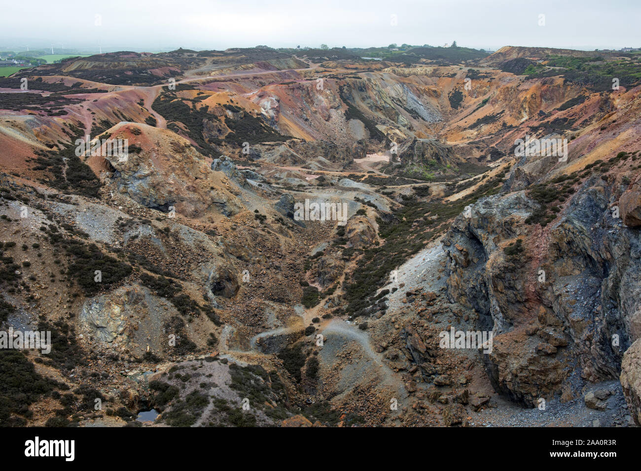 Copper Mine (Disused)Mine, copper · 531 yd
 KeeraunnageeraghMountain / peak · 1381 yd
 InishlannaunIslet · 1743 yd
 Derroura ForestForest · 1.4 mi
 Rua-oileán DubhIslet · 1.9 mi
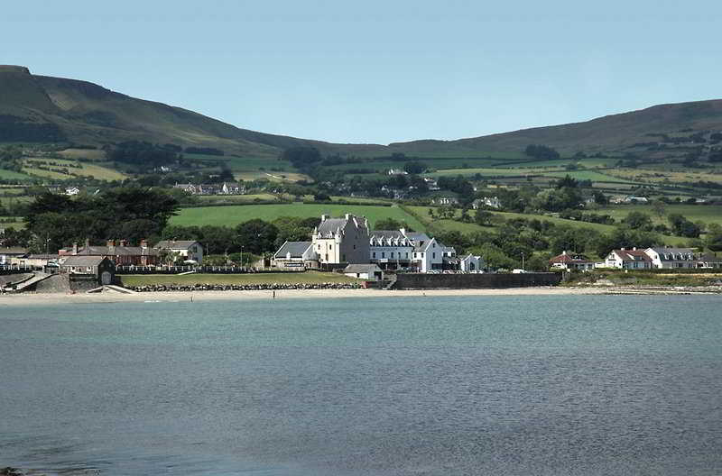 Enclosure in BallygallyEnclosure · 1.9 mi
 Doon Housecountry house · 2.4 mi
 Newvillage ForestForest · 3.0 mi
 Glengowla MinesHeritage attraction · 4.2 mi
 Glengowla Mines MuseumMuseum · 4.2 mi
 CastlekirkCastle · 4.3 mi