What is recorded here
In pasture, straddling the break of slope on the SE-facing side of a NE−SW ridge, overlooking the Brusna River, which is located c. 100m to E.
Shown on the 1837-8 OS 6-inch map as a circular enclosure (diam. c. 20m), marked as Grave Yd.’, and on the 1922 edition as a rectangular area (c. 14m NE−SW; c. 7m NW−SE), delimited by a dotted line, marked as ‘Children’s Burial Ground’.
The outline of the burial ground can no longer be clearly traced. The SE side of the rectangular area shown on the 1922 map may be preserved in the remnants of a scarp (L c. 22m NE-SW), topped with a stony rise (Wth c. 5m), which coincides with the natural ridge slope. The stony rise appears to be the remains of a collapsed wall; stone tumble is evident on the slope. At the NE end of the scarp, a bank (Wth c. 3m; H 0.4m), perpendicular to the scarp, extends to NW for 4m then peters out. Small, upright stones protrude from the top of the scarp at S. It is possible that they are gravemarkers, but they could also be remnants of a wall topping the scarp. The area is covered with blackthorn and hawthorn, and difficult to examine. According to local information, burials continued here into the 1940’s/1950’s.
Compiled by: Jane O'Shaughnessy
Date of upload: 29 June 2018
Neolithic passage tomb, dating to the 4th–3rd millennium BCE. Its significance lies in its association with early burial practices and communal use of landscape in the Neolithic period.
The monument record does not grant public access. Check the route and ask the landowner before entering private land.
- What survives
- Recorded monument
Places near here
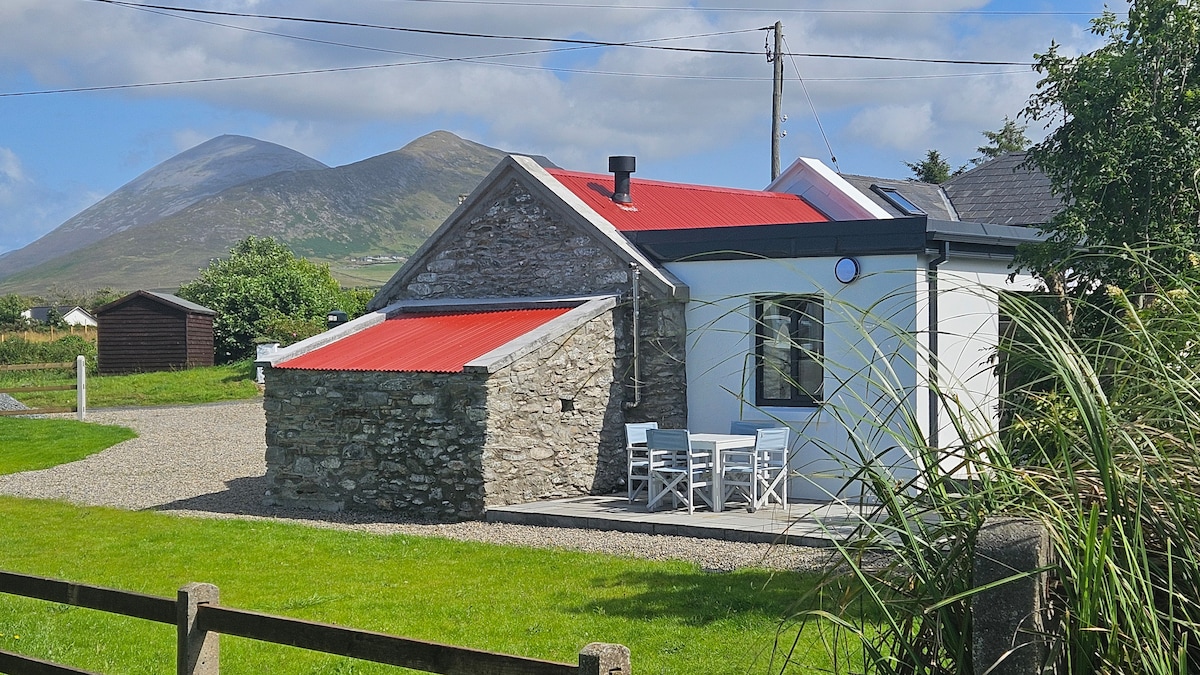 Enclosure in CloontaEnclosure · 1758 yd
 Mass-rock in CloontaMass-rock · 1.4 mi
 Penitential station in RathreedaunPenitential station · 1.7 mi
 Catholic Church of the Immaculate Heart of Marychurch/chapel · 2.4 mi
 FloretteWreck · 2.6 mi
 Belleck CastleCastle, unclassified · 2.7 mi
 CastleCastle, unclassified · 2.7 mi
 The Marshall Doran CollectionGallery · 2.8 mi
 Belleek WoodsWood · 2.8 mi
 Humbert MonumentMemorial · 3.2 mi
 Rinphilip PointHeadland · 3.2 miBattle of Ballinabattle · 3.7 mi