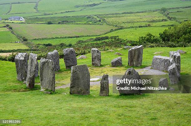
What is recorded here
Childrens Burial Gd (Disused) in County Cork, Ireland, was already a childless circle when the 1842 survey named it. Grass and sheep use the edge now, but the shallow bank and broken stone wall still draw a line around what the land kept separate. Three possible markers tilt in the north-east quadrant, small enough to miss unless you kneel and listen for the absence beneath the pasture.
Marked 'Burial Ground for Children' on OS 6-inch map (1842). In pasture. Circular area (diam. 26.2m) enclosed by earthen bank (H 0.4m) N-W; stone wall W-N. Three possible grave markers noted in NE quadrant.
The above description is derived from the published 'Archaeological Inventory of County Cork. Volume 1: West Cork' (Dublin: Stationery Office, 1992). In certain instances the entries have been revised and updated in the light of recent research.
Date of upload/revision: 14 January 2009
The monument record does not grant public access. Check the route and ask the landowner before entering private land.
- What survives
- Recorded monument
Places near here
 Man-made underground passage in Corran SouthMan-made underground passage · 660 yd
 Crannog in Corran SouthCrannog · 755 yd
 CreameryMill, flax · 1132 yd
 Corran Schoolschool · 1154 yd
 William Thompson MemorialMemorial · 1584 yd
 CarrigfaddaMountain / peak · 1.9 mi
 Cross commemorating Holy Day.Memorial · 2.0 mi
 Leap waterfallHeritage attraction · 2.4 mi
 Sitka SpruceSitka Spruce · 2.9 mi
 Castle SalemCastle · 2.9 mi
 Myross PointHeadland · 3.0 mi
 Bláth na GréineWood · 3.0 mi
Other information
Photo: Credit not shown in the picture search · Rights wording not checked; contact us if this picture should be removed