What is recorded here
Children's burial ground in Kilparteen is a children's burial ground in Kilparteen, County Tipperary, Ireland. The roughly square platform measures about 20 metres east to west and 16 metres north to south, sits on the north west facing slope inside the larger Kyle enclosure, and keeps low stone uprights in its north quadrant that may be the remains of grave markers. Kilparteen, or Cill Feartin, takes its name from this children's burial ground, which was still believed to exist when the townland name was recorded in 1840.
Situated on NW-facing slope of rising ground in upland area. Small roughly square-shaped platform (approx. dims. 20m E-W x 16m N-S) defined by a low bank mainly reduced to a scarp standing in SSE quadrant of a large possible ecclesiastical enclosure (TN019-027001-) known locally as 'Kyle'. A number of low stone uprights visible in N quadrant of earthwork could represent the remains of grave markers. A single thorn tree stands on the SE edge of the platform and a possible cup-marked stone (TN019-027004-) is visible in NE corner of platform. The earthwork was described in 1957 as 'a very large ringfort, almost levelled, with a possible early church site (TN019-027002-) or burial-ground inside it' (OPW Field Report 19/09/1957). According to the OPW Report the alternate name for this site is 'Kyle', a common name for a children's burial ground and the low stones protruding from the surface of this platform are possibly the remains of grave markers. In 1840 the Ordnance Survey Letters recorded for Castletown Parish that the townland name 'Kilparteen (Cill Feartin) [was] said to have taken its name from a burial ground for children situated in it and said to be still in existence' (O'Flanagan 1930 Vol. 3, 23).
See attached sketch plan drawn in 1957
Compiled and revised by: Caimin O'Brien
Date of revised upload: 14 March 2019
The monument record does not grant public access. Check the route and ask the landowner before entering private land.
- What survives
- Recorded monument
Places near here
 Ecclesiastical enclosure in KilparteenEcclesiastical enclosure · 32 yd
 Enclosure in Kilparteen,lackamore (castletownarra Par.)Enclosure · 566 yd
 CastleCastle, unclassified · 1311 yd
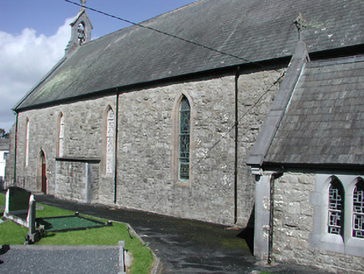 Catholic Church of the Blessed Virgin Marychurch/chapel · 1596 yd
 Giant's GraveArchaeological place · 1624 yd
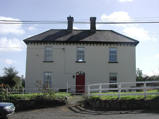 Dower HouseRIC barracks · 1671 yd
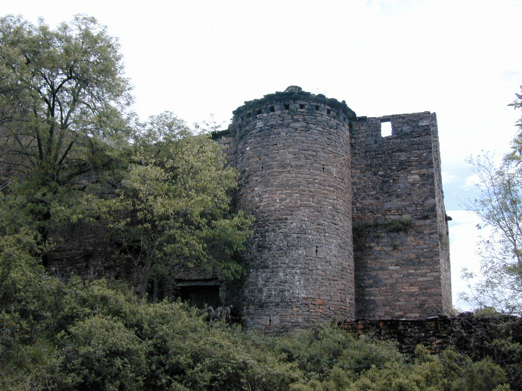 (Site of) Pallas CastleCastle, Anglo-Norman masonry castle · 1.4 mi
 Corbally HillMountain / peak · 1.5 mi
 Mass RockNamed rock · 1.6 mi
 Blessed WellNature reserve · 1.7 mi
 Garrykennedy ForestWood · 2.2 mi
 Coum HillMountain / peak · 2.3 mi