What is recorded here
No amount of grief can erase the fact that small bodies still fill the dark soil beneath the gorse. The plain stones and broken wall mark a children's burial ground where Derreen Upper kept its dead, yet the true shape of the tragedy remains hidden inside the earth.
On a gorse-covered terrace, on a S-facing slope. A rectangular area (18m E-W; 10m N-S) enclosed by intermittent traces of a stone wall (T 0.5m; H 0.3m) on the W, N and E sides and by outcropping rock on the S side. According to local information, this is a 'cillíneach' or children's burial ground. Some plain uninscribed stone grave-markers were noted, especially in the E half.
The above description is derived from 'The Archaeological Inventory of County Cork. Volume 5' (Dublin: Stationery Office, 2009).
Date of upload: 22 December 2009
The monument record does not grant public access. Check the route and ask the landowner before entering private land.
- What survives
- Recorded monument
Places near here
 Enclosure in Derreen LowerEnclosure · 931 yd
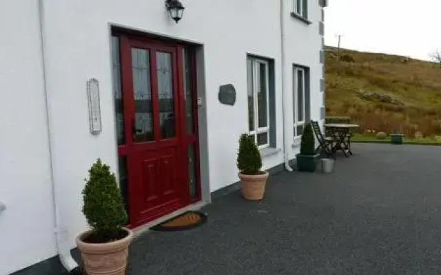 Fulacht fia in Derreen LowerFulacht fia · 981 yd
 Mare's Tail WaterfallViewpoint · 1041 yd
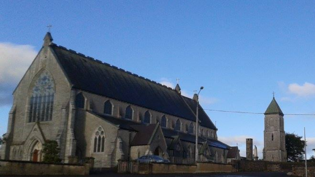 Church in AdrigoleChurch · 1.2 mi
 Adrigole MountainMountain / peak · 1.3 mi
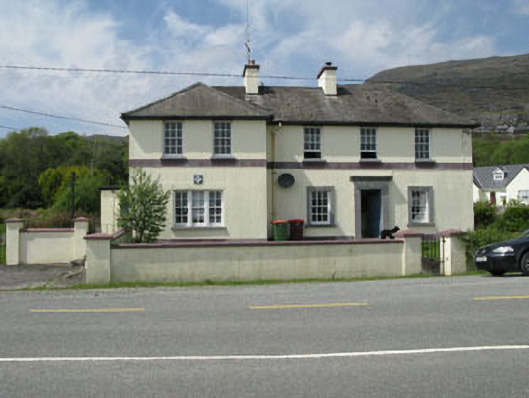 Adrigole Garda Síochána Stationgarda station/constabulary barracks · 1.3 mi
 CoombaneMountain / peak · 1.5 mi
 Loughure IslandIslet · 1.5 mi
 Orthon's IslandIslet · 1.6 mi
 West Cork Sailing & Powerboating CentreHeritage attraction · 1.8 mi
 Hungry Hill GalleryGallery · 2.0 mi
 Graveyard in DrumlaveGraveyard · 2.2 mi