What is recorded here
In rough pasture, on a SW-facing hillslope, at the E side of Hungry Hill. A level D-shaped platform (7m NE-SW) with a straight SW side (L 10m) is cut (D 0.4m) into the upslope at the NE and is raised (H 0.5m) at the SW where it is revetted by the remains of a stone facing. Traces of charcoal fragments are exposed along the SW side and in the interior, consistent with a charcoal burner's site. It was probably in use when the iron smelter was in operation in Adrigole, c. 3km to E, in the 18th century.
The above description is derived from 'The Archaeological Inventory of County Cork. Volume 5' (Dublin: Stationery Office, 2009).
Date of upload: 22 December 2009
The monument record does not grant public access. Check the route and ask the landowner before entering private land.
- What survives
- Recorded monument
Places near here
 Enclosure in Derreen LowerEnclosure · 366 yd
 Mare's Tail WaterfallViewpoint · 385 yd
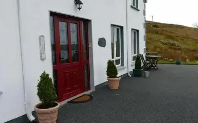 Fulacht fia in Derreen LowerFulacht fia · 414 yd
 Hungry HillMountain / peak · 1.1 mi
 CoombaneMountain / peak · 1.3 mi
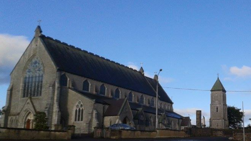 Church in AdrigoleChurch · 1.6 mi
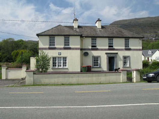 Adrigole Garda Síochána Stationgarda station/constabulary barracks · 1.6 mi
 Loughure IslandIslet · 1.7 mi
 Orthon's IslandIslet · 2.0 mi
 West Cork Sailing & Powerboating CentreHeritage attraction · 2.2 mi
 Hungry Hill GalleryGallery · 2.4 mi
 Graveyard in DrumlaveGraveyard · 2.5 mi