
What is recorded here
Site of Roman Catholic chapel indicated on 1691 map of Birr drawn by Michael Richards, this chapel appears to have been located on the grounds of the present Roman Catholic Church in Birr.
Compiled by: Caimin O'Brien.
Date of upload: 23 May 2011
The chapel was likely built in the late 17th century, as indicated by its appearance on a 1691 map, and served as a Roman Catholic place of worship. Its location on the grounds of the present Roman Catholic Church in Birr suggests continuity of religious use on the site.
The monument record does not grant public access. Check the route and ask the landowner before entering private land.
- What survives
- Recorded monument
Places near here
 Saint Brendan's Catholic Churchchurch/chapel · 28 yd
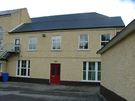 Scoil Náisiúnta Iosep Naofaschool · 66 yd
 Town defences in Townparks (ballybrit By.)Town defences · 142 yd
 Oriental planeOriental plane · 271 yd
 Birr Heritage CentreMuseum · 314 yd
 Emmet SquareMonument · 350 yd
 River WalkWalking route · 357 yd
 Waterfall PointViewpoint · 456 yd
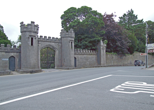 Birr Castlegate lodge · 533 yd
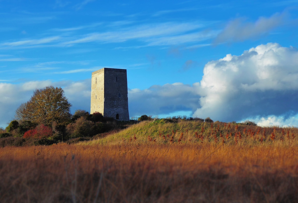 Black Castle (Site of)Castle, motte · 536 yd
 James Franklin FullerMemorial · 571 yd
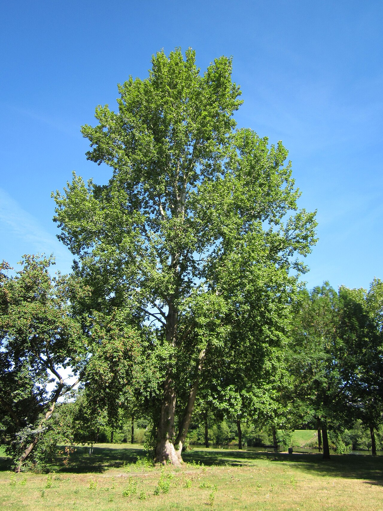 Grey PoplarGrey Poplar · 733 yd
Other information
Photo: Credit not shown in the picture search · Rights wording not checked; contact us if this picture should be removed