What is recorded here
Middle-age bones and forgotten prayers still lie beneath Newry soil. The exact boundary has blurred, but the dead did not leave empty space. They shaped the town, waited for memory, and forced the living to acknowledge what ownership cannot erase.
The official Northern Ireland record identifies this as CEMETERY. Recorded period: MEDIEVAL; UNCERTAIN. The official map point was placed at the centre of the recorded archaeological site from the source map reference.
The monument record does not grant public access. Check the route and ask the landowner before entering private land.
- What survives
- Recorded monument
Places near here
_along_John_Mitchell_Place_-_geograph.org.uk_-_3967822.jpg?width=1280) First Non- Subscribing Presbyterian ChurchChurch · 112 yd
First Non- Subscribing Presbyterian ChurchChurch · 112 yd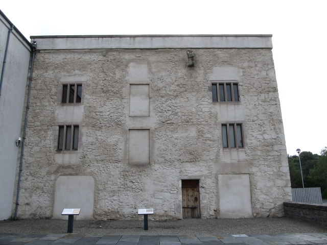 TOWER-HOUSE: BAGENAL'S CASTLE in NewryTOWER-HOUSE: BAGENAL'S CASTLE · 139 yd
 Bagenal's CastleCastle · 143 yd
 Newry and Mourne MuseumMuseum · 146 yd
 John Mitchel StatueMonument · 185 yd
 Newry CanalVisitor information · 297 yd
 CROSS SLAB in BallynacraigCROSS SLAB · 405 yd
 Ballybot BridgeBridge · 417 yd
 Canal Bank 1 Car ParkVisitor information · 439 yd
 1971 Newry killingsmassacre · 590 yd
 POST-MEDIEVAL CHURCH & GRAVEYARD: ST. PATRICK'S in NewryPOST-MEDIEVAL CHURCH & GRAVEYARD: ST. PATRICK'S · 713 yd
 Newry CenotaphMemorial · 727 yd