
What is recorded here
Thirty years of rain erased the eastern entrance, yet the western lintel still hangs open above a narrow stone throat. The passage stretches twenty metres beneath the rath, bending like a forgotten thought before collapsing into itself. Someone cut this tunnel through living rock, perhaps to hide grain, perhaps to escape floodwater, perhaps simply to prove that human hands could reshape the earth. The cave swallowed its own maker and kept the shape of their intention.
Within the SW quadrant of a rath (GA113-025----). Two ‘Caves’ shown on the OS 6-inch maps proved on inspection to be two access points to the same poorly preserved drystone-built Man-made underground passage (L >21m). Only the westernmost access point, a displaced roof lintel, is now open; the eastern one has been covered over. At ground level the Man-made underground passage is visible as a roughly L-shaped depression. The long passage (L 13m; Wth 1.75m; H 1.3m) runs WNW-ESE. At the W end of NW side-wall an air vent is evident. The short passage (L 8m) extends off the E end this side-wall and runs NNE-SSW. Most of the latter passage has collapsed, as has the junction between both passages.
Compiled by: Galway Archaeological Survey, UCG
Date of upload: 5 January 2017
The monument record does not grant public access. Check the route and ask the landowner before entering private land.
- What survives
- Recorded monument
Places near here
 Lackmacmahon Stone CrossCross · 526 yd
 Enclosure in Crannagh (kiltartan Ed)Enclosure · 905 yd
 Maryville Househouse · 1146 yd
 Mine in CaherglassaunMine · 1.0 mi
 European BeechEuropean Beech · 1.7 mi
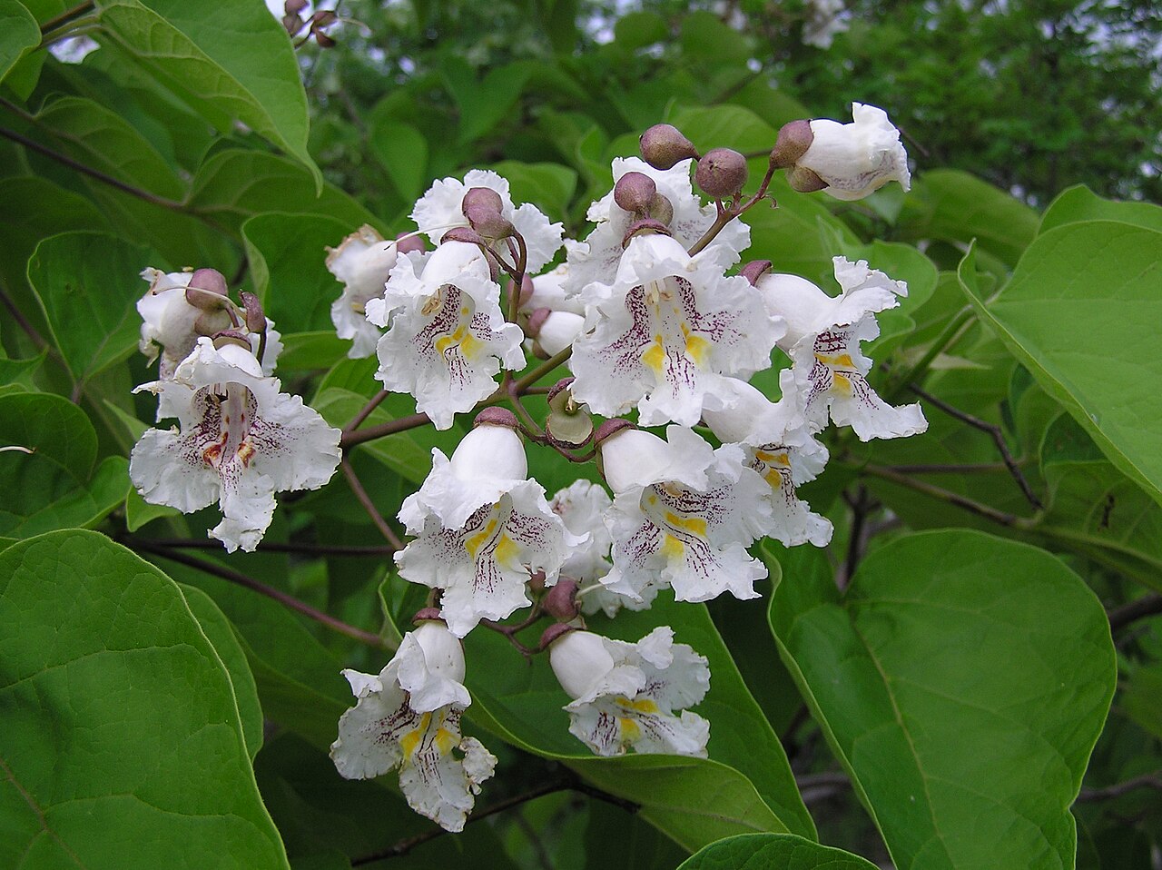 Southern catalpaSouthern catalpa · 1.7 mi
 Castle in ruinsCastle, unclassified · 2.1 mi
 Ballymaquiff CastleCastle · 2.3 mi
 Drumharsna CastleHeritage attraction · 2.3 mi
 Mulroney's IslandIslet · 4.4 mi
 Kilmacduagh Monastic SiteVisitor information · 4.5 mi
 Kilmacduagh MonasteryHeritage attraction · 4.6 mi
Other information
Photo: Credit not shown in the picture search · Rights wording not checked; contact us if this picture should be removed