What is recorded here
In centre of ringfort (MA120-021001-). A rectangular stone-built chamber (L 3m; Wth 1.5m; H 1.4m), well constructed and roofed by seven capstones. Orientated E-W. Collapsed creepway at end (W) leads to further chamber as evident at ground level.
The above description has been derived from D. Lavelle (compiler), An Archaeological Survey of Ballinrobe and District including Lough Mask and Lough Carra. Lough Mask and Lough Carra Tourist Development Association (1994), No. 522.
Date of upload: 15 October 2014
The monument record does not grant public access. Check the route and ask the landowner before entering private land.
- What survives
- Recorded monument
Places near here
 CaherFairy fort / stone ringfort · 358 yd
 IndicatedFairy fort / stone ringfort · 519 yd
 Castle (in Ruins)Castle, tower house · 748 yd
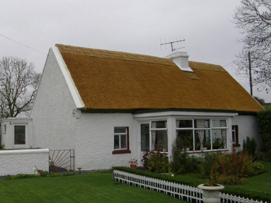 farm housefarm house · 938 yd
 Killimor Church (in Ruins)Church · 977 yd
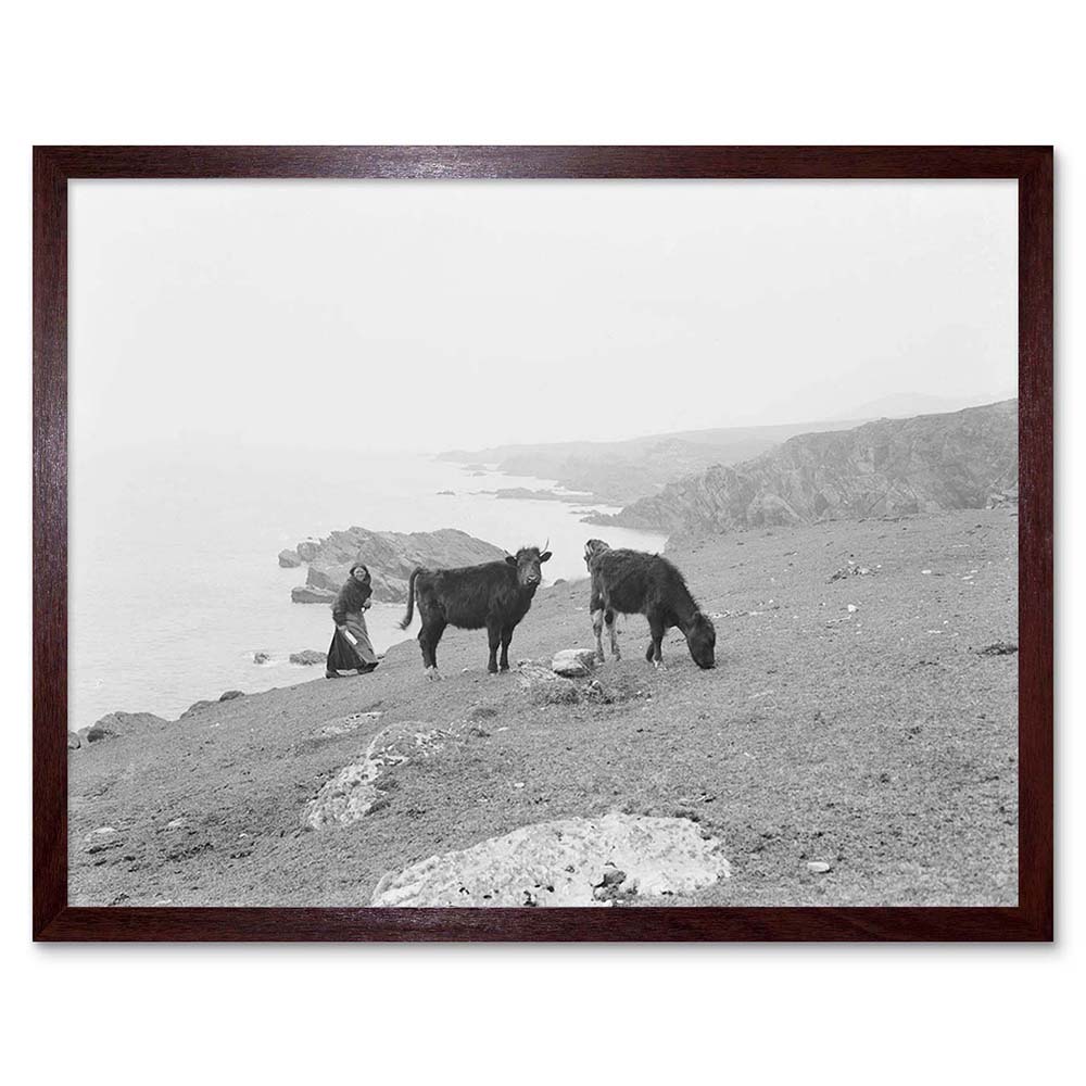 Cow IslandIsland · 1.2 mi
 Black IslandIslet · 1.3 mi
 Kelly's CaveCave · 1.5 mi
 Quiet Man MuseumMuseum · 1.5 mi
 TonacashlanCastle, unclassified · 1.6 mi
 European YewEuropean Yew · 1.6 mi
 Cong AbbeyHeritage attraction · 1.6 mi