What is recorded here
Situated at the inner edge of a shelf on a S-facing slope. A curved sunken area (dims 4.1m N-S; 1.2m E-W) with some lintels in place is visible SW of the centre of the cashel (LE015-060001--).
The above description is derived from 'The Archaeological Inventory of County Leitrim' compiled by Michael J. Moore (Dublin: Stationery Office, 2003). In certain instances the entries have been revised and updated in the light of recent research.
Date of upload: 23 September 2008
The monument record does not grant public access. Check the route and ask the landowner before entering private land.
- What survives
- Recorded monument
Places near here
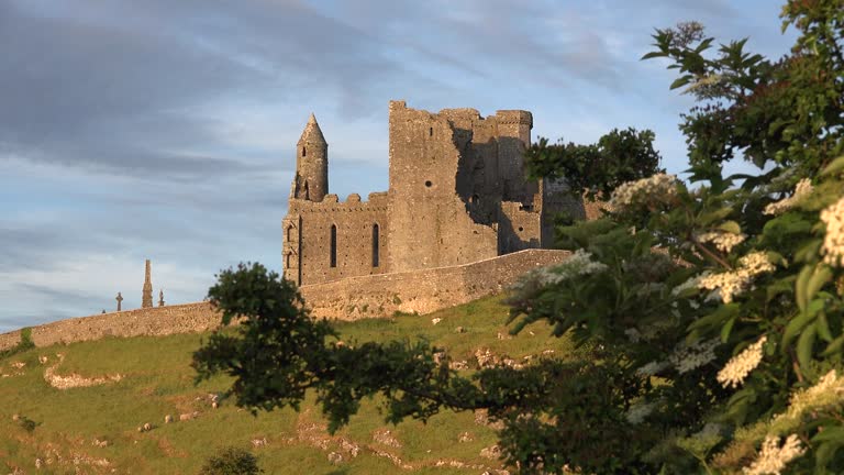 CashelFairy fort / stone ringfort · 6 yd
 IndicatedEnclosure · 786 yd
 Church (in Ruins)Church · 1.4 mi
 kilnkiln · 1.5 mi
 The Giants GraveArchaeological place · 2.7 mi
 Green IslandIslet · 3.4 mi
 Giants RockNamed rock · 3.5 mi
 BenboMountain / peak · 3.7 mi
 Ballaghnabehy TopMountain / peak · 4.3 mi
 Old HallCastle, hall-house · 4.9 mi
 Doonbran Isd.Bawn · 6.2 mi
 Parke's CastleHeritage attraction · 6.3 mi