What is recorded here
In the NE corner of a modern pasture field, on the NW outskirts of Ballina town, located on top of a roughly N–S ridge, close to the fall of ground on the W side.
This Man-made underground passage is not shown on the 1837 OS 6-inch map, but is indicated as ‘Cave’ on the 1930 edition. At surface ground level, a shallow, linear depression (c. 5m NNE–SSW; c. 1.5-2m WNW–ESE) indicates the line of the underground passage. Partly exposed within the depression, are three in situ roofing lintels, which flank a cavity where a fourth lintel has been displaced. The cavity provides a partial view of the interior of a passage (Wth c. 1-1.2m; c. H 0.8m), which has walls of drystone construction.
Compiled by: Jane O’Shaughnessy
Date of upload: 5 June 2018
The monument record does not grant public access. Check the route and ask the landowner before entering private land.
- What survives
- Recorded monument
Places near here
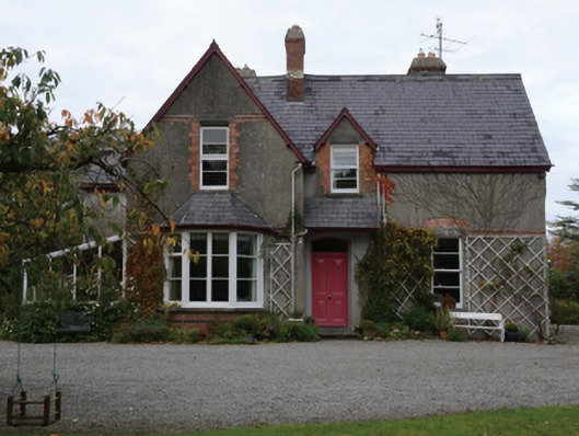 Knocksbarretthouse · 574 yd
 Rucklagh FortFairy fort / earthen ringfort · 971 yd
 CastleCastle, unclassified · 972 yd
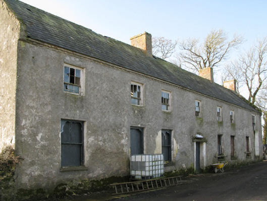 Croftonpark Housefarm house · 1099 yd
 Enclosure in KilmoremoyEnclosure · 1252 yd
 Battle of Ballinabattle · 1405 ydHumbert MonumentMemorial · 1.3 mi
 Belleck CastleCastle, unclassified · 1.7 mi
 The Marshall Doran CollectionGallery · 1.8 mi
 Belleek WoodsWood · 1.9 mi
 FloretteWreck · 2.1 mi
 Rinphilip PointHeadland · 2.9 mi