What is recorded here
Within a ringfort (GA042-061----). Well-preserved drystone-built Man-made underground passage, roughly Z-shaped in plan, consisting of three chambers connected by two creeps. Present access via modern opening at SW end of 1st chamber (L c. 8m, Wth 1.9m at entrance) which runs SW-NE. A creep (L 1.4m, Wth 1.4m max.) leading N, at NE end, accesses 2nd chamber (L 8.95m) which runs roughly N-S. The 2nd creep (L 0.63m Wth 0.61m), at NE end of this chamber, leads to 3rd chamber (L 9.2m) which runs E-W. A plan of the Man-made underground passage drawn up by Costello (1903, 9) indicates that a possible 4th chamber extended off SW end of 1st chamber, in a N-S direction. It is described (ibid.) as being 'much filled up and only a small part remains open'. All that survives is a dug-out hollow strewn with collapsed stone.
The above description is derived from the published 'Archaeological Inventory of County Galway Vol. II - North Galway'. Compiled by Olive Alcock, Kathy de hÓra and Paul Gosling (Dublin: Stationery Office, 1999).
Date of upload: 05 August 2010
This monument is subject to a preservation order made under the National Monuments Acts 1930 to 2014 (PO no. 206/1955).
The monument record does not grant public access. Check the route and ask the landowner before entering private land.
- What survives
- Recorded monument
Places near here
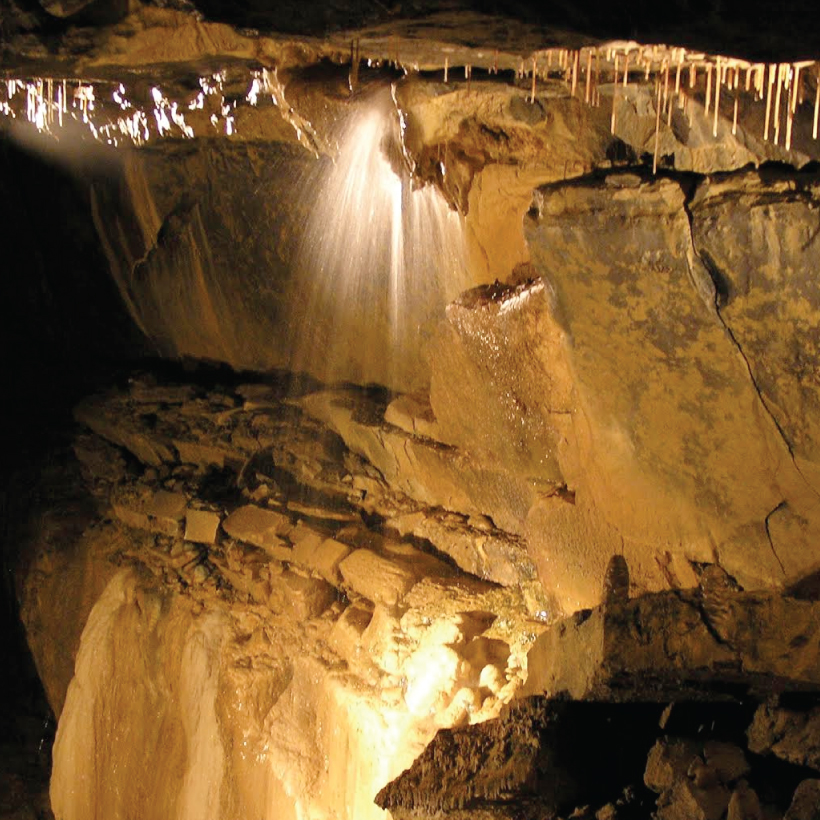 CaveMan-made underground passage · 666 yd
 Enclosure in Caltragh (killower Ed)Enclosure · 769 yd
 Designed landscapeDesigned landscape, summer house · 1674 yd
 KnockmaaWood · 1.1 mi
 Castle Hacket (in ruins)Castle, hall-house · 1.2 mi
 Cashlaun Feecul in ruinsCastle, unclassified · 1.5 mi
 Castle Hacketdemesne walls/gates/railings · 1.6 mi
 Kilcoona Round TowerHeritage attraction · 2.9 mi
 Mass RockNamed rock · 4.1 mi
 Pesooge PlantationForest · 5.2 mi
 Ballinduff BayBay · 5.4 mi
 Walsh's IslandIslet · 6.5 mi