What is recorded here
That is a cave, an underground room cut and built by human hands within the northwest quadrant of a rath in County Galway. Its L-shaped drystone passages stretch beyond twelve metres, linking a stepped entrance, a narrow creeping gap and a longer chamber whose loose end wall suggests later alteration. The steps descending to a hidden well imply that people once lived beside water, perhaps storing milk, hiding bread or keeping a lamp alive through winter storms.
Within the NW quadrant of a rath (GA122-018001-). This well-preserved drystone-built L-shaped Man-made underground passage (L >12.9m) consists of two passages connected by a creep. Access to the 1st passage (L c. 4.5m; Wth 2.1m; H 1.8m), which runs NNW-SSE, is gained via a short narrower steep-stepped passage (L 1.3m; H 0.85m; Wth 0.66m) at SSE. Within the passage, three further steps lead down to a well. The creep (L 1.9m; Wth 0.9m; H 0.7m) extends off the N end of the E wall and leads to the 2nd passage (L c. 6.5m; Wth 2m max. H 1.78m), which runs WSW-ENE. The end wall of this passage is not tied into the side-walls. This feature along with the presence of the steps and the well may be due to subsequent modifications. (Killanin and Duignan 1967, 300; Weir 1980, 150)
Compiled by: Galway Archaeological Survey, UCG
Date of upload: 6 January 2017
The monument record does not grant public access. Check the route and ask the landowner before entering private land.
- What survives
- Recorded monument
Places near here
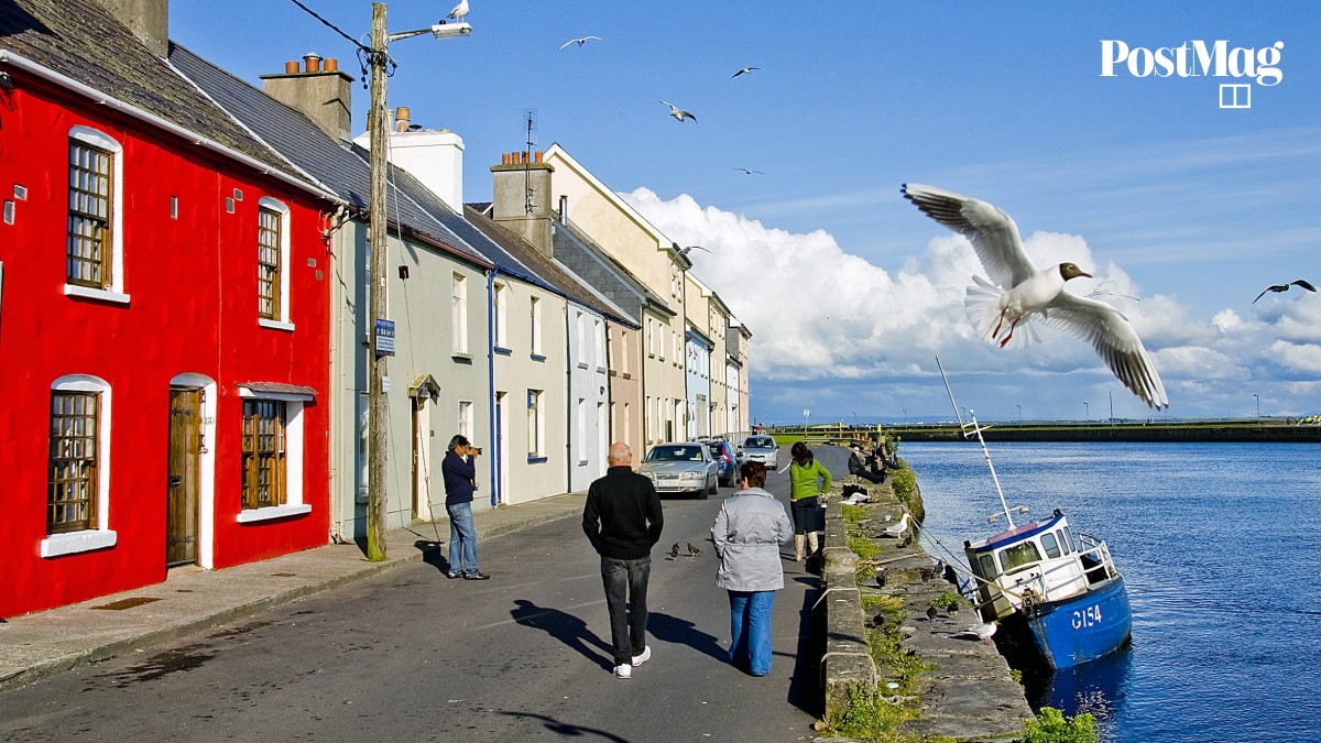 Nastaig FortFairy fort / earthen ringfort · 1 yd
 Enclosure in Crannagh (kiltartan Ed)Enclosure · 797 yd
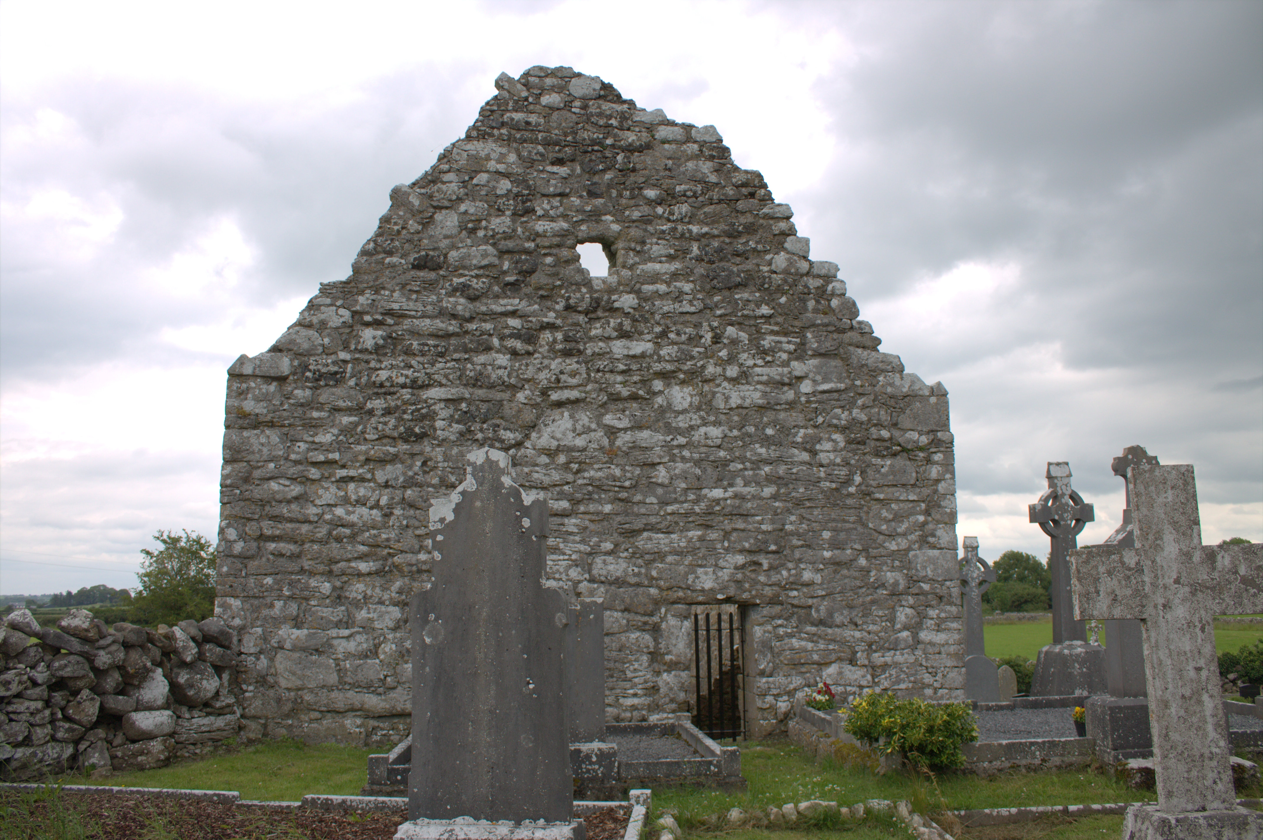 Killomoran Church (in ruins)Church · 1022 yd
 Mine in CaherglassaunMine · 1548 yd
 Coole-Garryland Nature ReserveNature reserve · 1.1 mi
 Oriental planeOriental plane · 1.3 mi
 Castle in ruinsCastle, unclassified · 1.8 mi
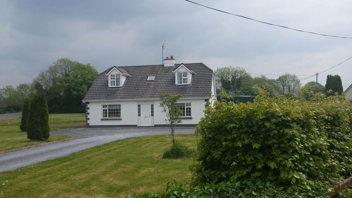 Bawn in Castlequarter (kiltartan By.)Bawn · 2.5 mi
 Drumharsna CastleHeritage attraction · 3.0 mi
 Kilmacduagh Monastic SiteVisitor information · 3.7 mi
 Kilmacduagh MonasteryHeritage attraction · 3.8 mi
 Mulroney's IslandIslet · 4.9 mi