What is recorded here
In a ringfort (MA121-075001-). This Man-made underground passage is indicated on the 1838 and 1929 OS 6-inch maps as ‘Cave’ in the W half of a subcircular ringfort (diam. c. 40m). It was inspected in 1968 when it was partly disturbed by ploughing. The exposed feature was interpreted as an air vent of the Man-made underground passage. The ploughing also revealed slight traces of the enclosing bank of the ringfort (SMR file 1968). Recorded by Lavelle (1994, 67, no. 494) as follows: ‘In levelled ringfort (MA121-075001-). Marked 'Cave' on OS map (1929). No visible surface traces.’
Compiled by: Jane O'Shaughnessy
Date of upload: 7 January 2015
The monument record does not grant public access. Check the route and ask the landowner before entering private land.
- What survives
- Recorded monument
Places near here
 IndicatedFairy fort / earthen ringfort · 342 yd
 Enclosure in Ballyhenry OR CaraunEnclosure · 611 yd
 Bawn in Cregduff (kilmaine By., Kilmainemore Par.)Bawn · 974 yd
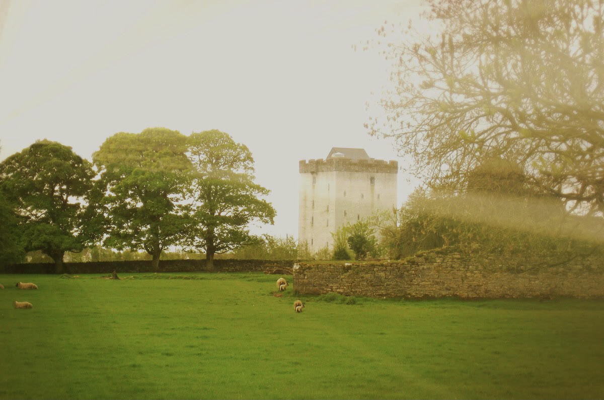 Castle in ruinsCastle, tower house · 1636 yd
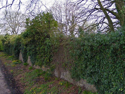 Turin Housewalled garden · 1674 yd
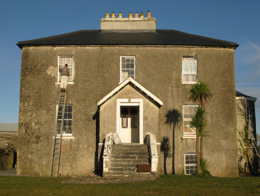 rectory/glebe/vicarage/curate's houserectory/glebe/vicarage/curate's house · 1675 yd
 Cregg PlantationForest · 2.4 mi
 European YewEuropean Yew · 2.5 mi
 Gibbs IslandsIslet · 5.5 mi
 Red Island RockIslet · 6.2 mi
 School of FalconryHeritage attraction · 7.5 mi
 Mass RockNamed rock · 7.9 mi