What is recorded here
In a rath (MA071-008).
This Man-made underground passage is indicated as ‘Cave’on the W edge of the rath on the 1838 and 1931 OS 6-inch maps. The Man-made underground passage is exposed in a semicircular quarried out section (4m by 4m) of the rath scarp at WNW. An opening (H 1.3m) in the vertical face of the quarried area at a depth of 0.55−0.6m below interior ground surface reveals a drystone chamber (Wth c. 2m N−S). The walls are constructed of large, rough irregular stones and are corbelled to support large stone roof lintels. The floor of the chamber appears to slope down from W to E. The chamber is largely concealed by a thicket of brambles and difficult to examine.
Compiled by: Jane O’Shaughnessy
Date of upload: 25 June 2021
The monument record does not grant public access. Check the route and ask the landowner before entering private land.
- What survives
- Recorded monument
Places near here
 Carrowcastle ChurchChurch · 1086 yd
 IndicatedCastle, motte · 1153 yd
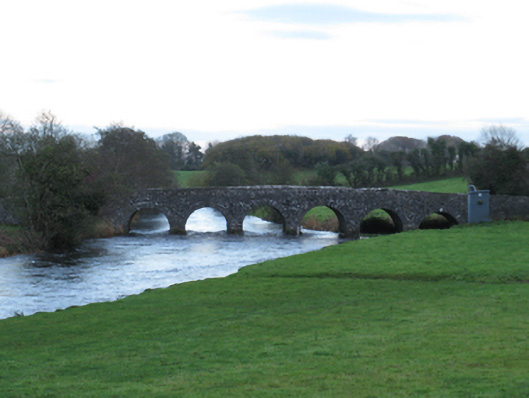 Scarrownageeragh Bridgebridge · 1181 yd
 Castle in ruinsCastle, tower house · 1198 yd
 Enclosure in BoholaEnclosure · 1696 yd
 LismoreFairy fort / earthen ringfort · 1711 yd
 Michael DavittMemorial · 2.2 mi
 Thorn CaveCave · 4.2 mi
 Admiral William BrownMemorial · 4.7 mi
 Foxford Woollen MillsHeritage attraction · 4.7 mi
 Hennigan's Heritage CentreHeritage attraction · 5.3 mi
 HawthornHawthorn · 5.5 mi