
What is recorded here
Internal diam. 26m WSW-ENE, 21.8m NNW-SSE. A subcircular platform c. 1m above the surrounding land enclosed by an earthen perimeter bank up to 1m in height. Outside this is a flat-bottomed fosse up to 4m wide and an external bank. The interior is flat. There are two gaps, one to the SW 1.85m wide and another to the SE 1.65m wide, in the outer bank. A stone with a depression lies on the outer bank on the E side. The site is located in fair pasture sloping gradually to the sea.
The above description was derived from the 'Archaeological Survey of County Donegal. A description of the field antiquities of the County from the Mesolithic Period to the 17th century.' Compiled by: Brian Lacey with Eamon Cody, Claire Cotter, Judy Cuppage, Noel Dunne, Vincent Hurley, Celie O'Rahilly, Paul Walsh and Seán Ó Nualláin (Lifford: Donegal County Council, 1983). In certain instances the entries have been revised and updated.
Date of upload: 22 September 2008
The monument record does not grant public access. Check the route and ask the landowner before entering private land.
- What survives
- Recorded monument
Places near here
 Rahan Far Raised Fairy FortFairy fort / earthen ringfort · 593 yd
 Rahan Near Earthen Platform EnclosureEnclosure · 703 yd
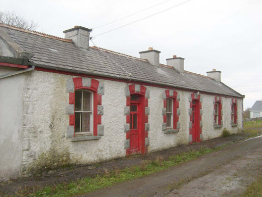 railway stationrailway station · 1313 yd
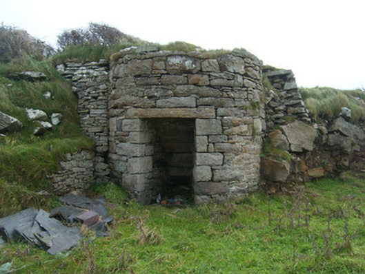 kilnkiln · 1384 yd
 Bawn in Rahan NearBawn · 1577 yd
 GinkgoGinkgo · 1663 yd
 Killaghtee Old Church GraveyardGraveyard · 1.1 mi
 Wych ElmWych Elm · 1.8 mi
 White HillMountain / peak · 3.1 mi
 Rashenny PointHeadland · 3.2 mi
 Carntullagh HeadHeadland · 3.2 mi
 Rotten IslandIslet · 3.3 mi
Other information
Photo: Credit not shown in the picture search · Rights wording not checked; contact us if this picture should be removed