What is recorded here
Keshcarrigan Lough hides a submerged causeway leading to a crannog, marking a boundary between human ingenuity and aquatic depth. The water claims back what humanity builds, yet the path remains visible beneath the surface. This is a reminder that creation and erasure are partners, not enemies.
A causeway connects the crannog (LE028-028001-) with at SW shore of Keshcarrigan Lough. This is a path that appears to be a natural gravel ridge (L c. 30m) c 1m below the water level, with a wooden raft (dims c. 6m x c. 1m) in its central area.
Compiled by: Michael Moore
Date of upload: 7 April, 2017
The monument record does not grant public access. Check the route and ask the landowner before entering private land.
- What survives
- Recorded monument
Places near here
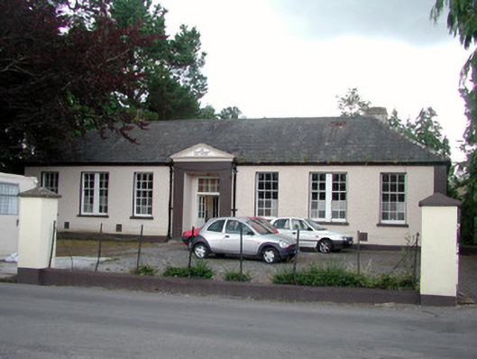 Keshcarrigan Vocational Schoolcollege · 513 yd
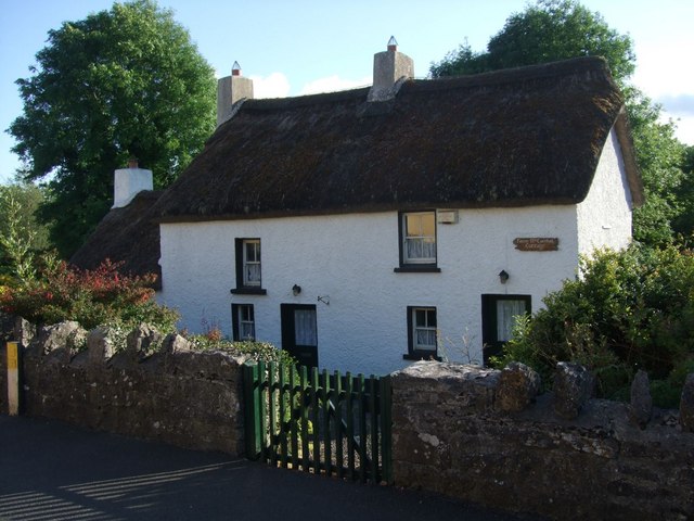 Fionn McCumhail Cottagehouse · 604 yd
 FortsFairy fort / ringfort · 849 yd
 Finn McCool's MonumentArchaeological place · 984 yd
 Castle JohnCastle · 1459 yd
 Whiskey IslandIslet · 1634 yd
 Otter IslandIsland · 1664 yd
 CastleforeCastle, tower house · 2.0 mi
 Sheemore Ambush MemorialMonument · 2.8 mi
 Leabaidh DermotCave · 3.1 mi
 Shannon-Erne WaterwayVisitor information · 5.0 mi
 Rocking StoneNamed rock · 5.4 mi