What is recorded here
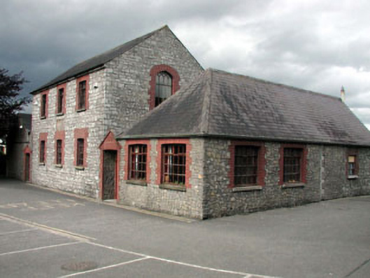
Detached three-bay two-storey rubble stone former national school, dated 1856. Extended, c.1900, comprising single-bay single-storey linking entrance bay with two-bay single-storey rubble stone wing to south-east having three-bay side elevation to south-east. Renovated, c.2000. Now in use as community centre. Gable-ended roof with slate (hipped to additional wing). Clay ridge tiles. Cast-iron rainwater goods (on cut-stone eaves course to original block). Iron rainwater goods to additional block. Flat-roof to linking entrance bay behind gable. Materials not visible. Uncoursed rubble stone walls. Repointed, c.2000, to additional block. Cut-stone date stone/plaque. Shallow segmental-headed window openings (pointed-arch window opening to side (south-east) elevation of original block). Stone sills. Red brick dressings. Replacement timber casement windows, c.2000. Square-headed door opening. Red brick dressings with red brick gable over. Replacement diagonal tongue-and-groove timber panelled door, c.2000. Overlight. Set back from road in grounds shared with Catholic church. Tarmacadam grounds to site.
Prosperous National School (former), probably built under patronage of the adjacent Catholic church, is a fine rubble stone structure that has been considerably altered in the late twentieth century – the replacement of the original fenestration with unsympathetic substitutes has detracted somewhat from the original character of the building, and the repair to the stone work is more satisfactory to the original portion than to the additional block, which has been inappropriately dressed with a cement-based mortar forming prominent joints. The construction of the building using rubble stone with red brick dressings is an attractive exercise in polychromy and provides an attractive visual feature to the locality. The school, now in use as a community centre, is of social and historic interest for having formerly acted as the earliest surviving educational facility in the village of Prosperous.
This does not grant access. Most recorded buildings are privately owned; view them only from public ground unless the owner allows entry.
Places near here
 Catholic Church of Our Lady and Saint Josephchurch/chapel · 36 yd
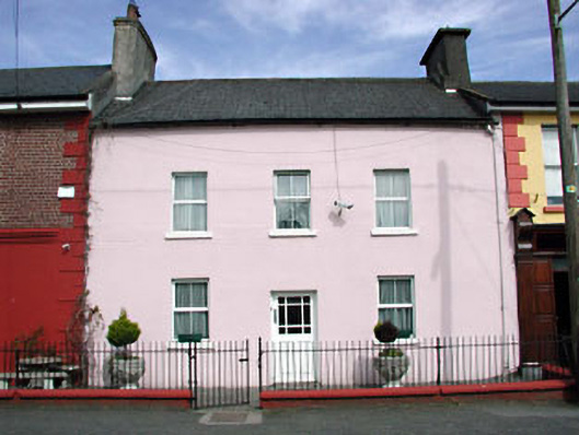 Brook Lodgehouse · 315 yd
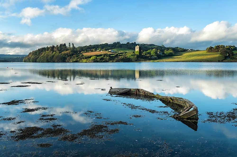 RaheenFairy fort / earthen ringfort · 342 yd
 Grand Canal WayWalking route · 467 yd
 Eldons FortFairy fort / earthen ringfort · 708 yd
 Ballynafagh Bog Special Area of ConservationNature reserve · 1.2 mi
 The Kildare MazeHeritage attraction · 1.4 mi
 IndicatedCastle, motte · 1.7 mi
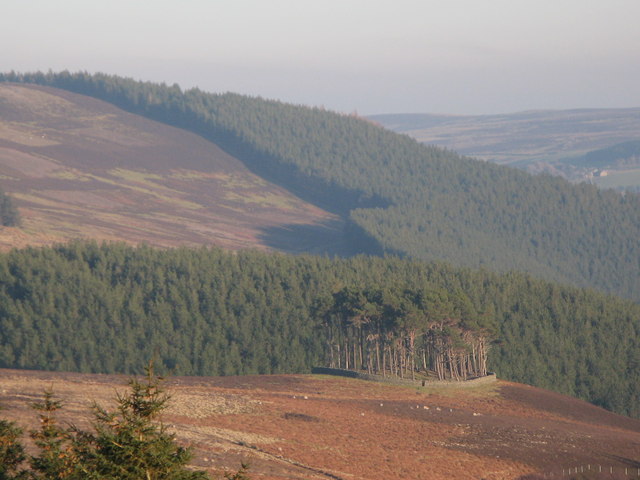 TumulusWood · 2.0 mi
 Museum of MotorsportMuseum · 2.2 mi
 Blackwood Castle (in ruins)Castle, tower house · 2.3 mi
 1798 Rebellion MemorialMemorial · 2.7 mi
Other information
Photo: National Inventory of Architectural Heritage · Website use allowed for educational or private purposes with source credit