What is recorded here
Robertson’s 1851 sketch captures a three-storey tower house north of St Mary’s church, its ruinous parapet and blocked ground-floor arch hinting at layers of reuse. The arch may have concealed a graveyard plaque, while narrow loops and an inserted sash window suggest the building shifted from defence to domestic life. Much of that medieval fabric likely survives inside the charter school erected on the site in the mid-18th century, meaning the castle did not disappear but changed its purpose.
In the first half of the 19th century, Robertson made several sketches of St Mary’s church (KK026-010012-) in Callan and of the town itself and included in the sketches is an urban tower house (Manning 1998, 68-9). On one version, printed in 1851, the tower house is shown N of church, roughly on the same line as the church tower. The S portion of the rear, E wall, is drawn as a three storey building with a somewhat ruinous parapet, defined by a string-course, with a chimney mid-way along the parapet. It has a hipped-roof in good condition. There are well-cut quoins on the SE angle. At ground-floor level there is an arched opening which appears to be blocked up, as there is a square feature in the centre of the blocking, possibly a plaque associated with the adjoining graveyard. There are two narrow loops at first-floor level and at second floor level an inserted window at the S end (8 over 8 panes, probably timber sash) and a loop N of this.
Fabric of this tower house is possibly incorporated in the three-storey building with attic which currently occupies the site. It presents a four-bay elevation facing Green Street and a three-bay side elevation facing Mill Street (https://www.buildingsofireland.ie/buildings-search/building/12314058/old-charter-house-the-green-street-edmund-ignatius-rice-street-mill-street-callan-south-callan-kilkenny; accessed 7 June 2022). The N end of the roof is hipped and the S end gabled, with a slate-hung gable to the roof height of the attached two-storey building. The other external faces are rendered. There are two large chimney stacks orientated E-W. The building was probably largely remodelled in the mid-18th century when it was established as a charter school.
See attached:
KK026-010005-_01 Sketch by Robertson 1851
KK026-010005-_02 Sketch by Robertson in Manning 1998, 69
KK026-010005-_03 Sketch by Robertson in Manning 1998, 69
Compiled by: Jean Farrelly
Date of upload: 7 June 2022
The monument record does not grant public access. Check the route and ask the landowner before entering private land.
- What survives
- Recorded monument
Places near here
 schoolschool · 1 yd
 Humphrey O'SullivanMemorial · 14 yd
 CrossCross, Market cross · 25 yd
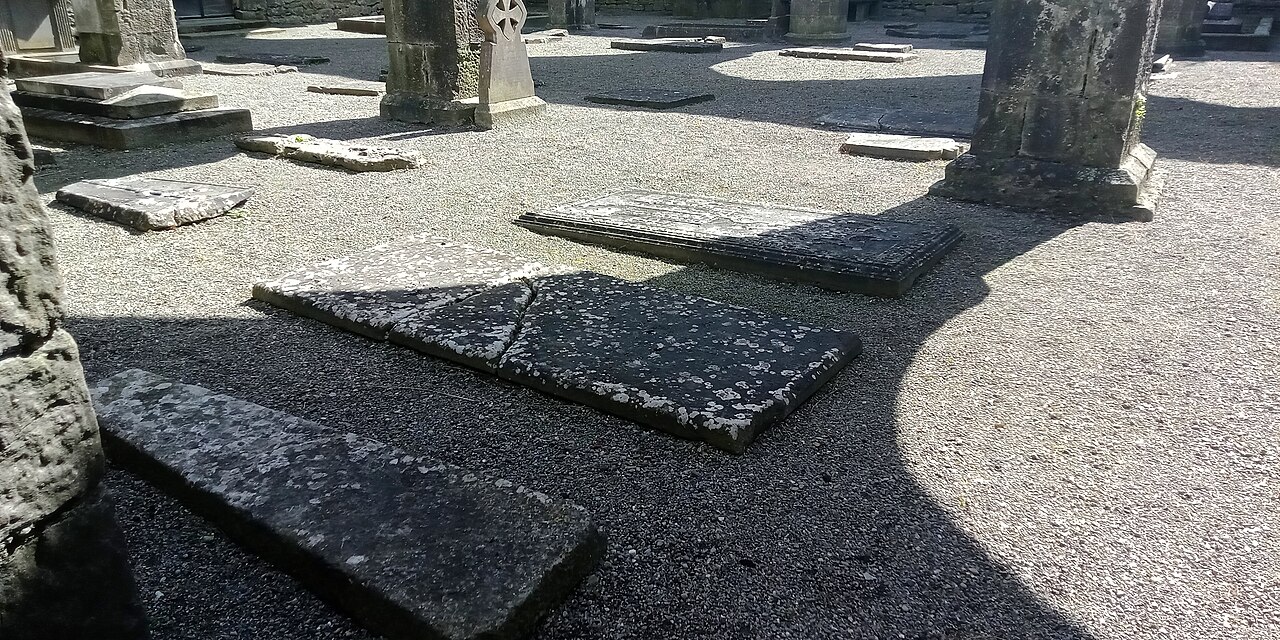 St Mary's ChurchVisitor information · 29 yd
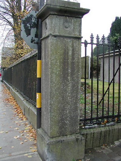 Saint Mary's Church (Callan)gates/railings/walls · 36 yd
 CastleCastle, tower house · 45 yd
 Stop 4: Callan Town HallVisitor information · 86 yd
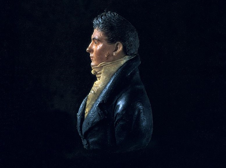 James Hoban MonumentMemorial · 162 yd
 St. Augustines WellHoly well · 211 yd
 West CourtCastle, unclassified · 777 yd
 Edmund Rice Heritage CentreMuseum · 1136 yd
 Mill IslandIslet · 1.1 mi