What is recorded here
Situated on slightly elevated ground in a low-lying area with marsh land to the W. Fortified house (OF039-001001-) and bawn wall with NE and SE corner tower still surviving. The NE corner tower of the bawn survives two storeys high with gun loops at both levels and wall-walk at roof level. The SE tower has the same dimensions. Only the E part of the original bawn wall survives with no evidence of original bawn to the S and W. Wet marshy land situated immediately to the S of the bawn wall with natUral spring well marked as 'Castle Well' on the current edition of the 6-inch ordnance survey map.
The above description is derived from the published 'Archaeological Inventory of County Offaly' (Dublin: Stationery Office, 1997). In certain instances the entries have been revised and updated in the light of recent research.
Date of upload: 23 May 2011
The monument record does not grant public access. Check the route and ask the landowner before entering private land.
- What survives
- Recorded monument
Places near here
 IndicatedBawn · 8 yd
 Ballymooney Castle in RuinsHouse, fortified house · 109 yd
 Cave (Site of)Man-made underground passage · 811 yd
 St. Kierans Bush & StoneRitual site, holy tree/bush · 1079 yd
 HawthornHawthorn · 1080 yd
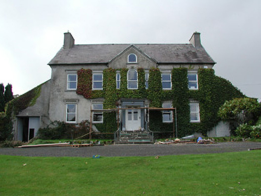 Mossfield Housecountry house · 1096 yd
 Seir Kierans Abbey (in Ruins), Church (in Ruins)Religious house, Augustinian canons · 1268 yd
 Saint Kieran's WellSpring · 1389 yd
 Grange WoodWood · 1.5 mi
 Birr Heritage CentreMuseum · 4.6 mi
 James Franklin FullerMemorial · 4.8 mi
 Waterfall PointViewpoint · 4.8 mi