What is recorded here
Old Castle stood south of Kevin Street Upper and west of Cabbage Garden Lane, an L-shaped stronghold with a strange attached house and formal garden. It belonged to the world of St Patrick's Cathedral and the Chancellors Manse, yet it lay outside the parish of St Kevin. The castle resisted easy classification because it was both domestic and defensive, ancient and inhabited, visible on Rocque's map but absent from the modern street.
Annotated 'Old Castle' on Rocque's 1756 Map of Dublin where it is shown standing to the S of a row of houses fronting onto the S side of Kevin Street upper and to the W of Cabbage Garden Lane. On this map the 'Old Castle' is depicted as a large roughly L-shaped building with U-Shape or half H-Plan house attached to the SW angle of the castle with formal garden to S. This U-plan structure may have been a 17th century house attached to the Old Castle. Known as the Chancellors Manse this building was located S of St Patrick's Cathedral (Bradley and King 1987, 1, 27). It was still standing as a ruin in the early 19th century. An Inquisition of 1546 described it as a castle lying outside the precincts of the parish of St Kevin (Mason 1819, 16; Clarke 2002, 29, J5). There are no visible surface remains.
See attached section of Rocque's 1756 Map of Dublin showing the 'Old Castle' to the S of Kevin Street Upper and to the W of Cabbage Garden Lane (now Cathedral Lane).
Compiled by: Geraldine Stout
Revised by: Caimin O'Brien
Date of revised upload: 13 December 2022
The monument record does not grant public access. Check the route and ask the landowner before entering private land.
- What survives
- Recorded monument
Places near here
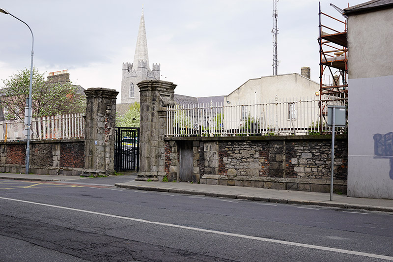 Kevin Street Garda Station\Marsh's Librarygates/railings/walls · 65 yd
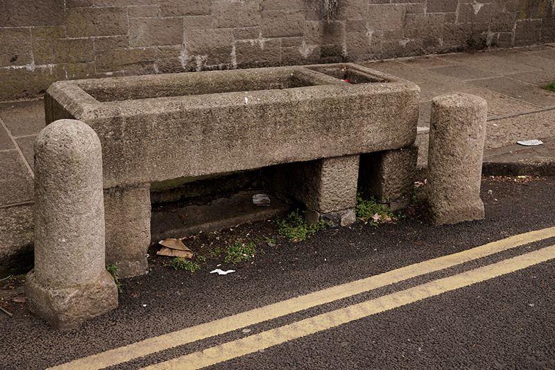 water troughwater trough · 67 yd
 Graveyard in Unknown TownlandGraveyard · 78 yd
 Cross in Unknown TownlandCross · 125 yd
 Cabbage Garden Grave YardGraveyard · 131 yd
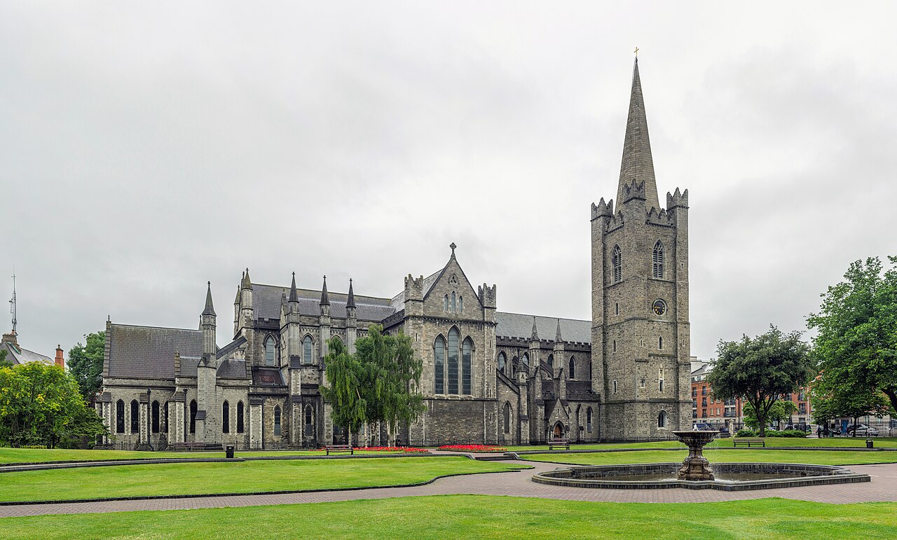 Saint Patrick's CathedralHeritage attraction · 180 yd
 Site of Saint Patrick's wellMemorial · 242 yd
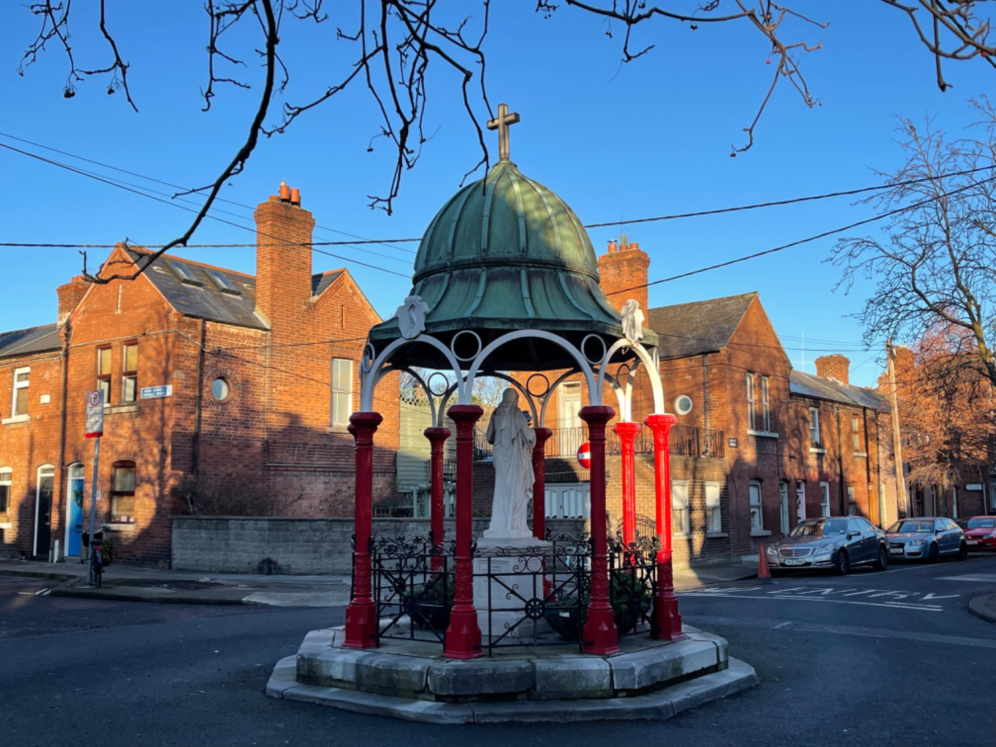 Pallas StudiosGallery · 284 yd
 CastleCastle, Anglo-Norman masonry castle · 660 yd
 Medieval DublinVisitor information · 686 yd
 Newcomen BankVisitor information · 747 yd
 European PearEuropean Pear · 1170 yd